Weather
Bennington Weather: Mild Late-August Pattern Brings Morning Fog, Comfortable 70s, and Overcast Skies
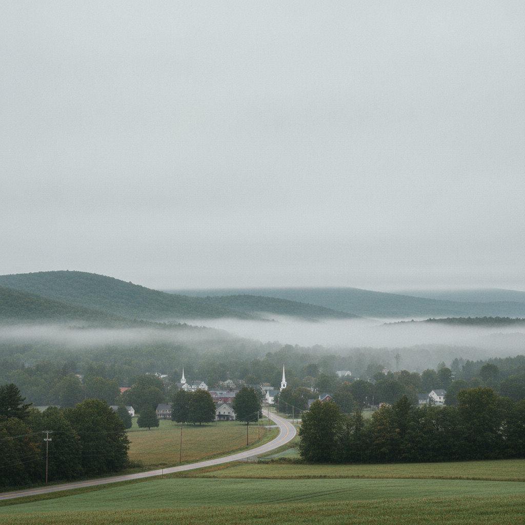
A mild late-summer weather pattern brings comfortable 70-degree temperatures, overcast skies, and morning valley fog to Bennington and surrounding southwestern Vermont communities this week, offering dry conditions and crisp overnight lows dipping into the low 50s.

Last updated:
A calm and comfortable late-summer weather pattern has settled over southwestern Vermont. Bennington is starting out with clear skies, a temperature of 57.5°F, and a light breeze of 6.7 mph. As we move through the final full week of August, residents across the Bennington Valley, Old Bennington, North Bennington, Shaftsbury, Pownal, Woodford, and Arlington can expect moderate temperatures reaching into the lower 70s alongside a mix of morning valley fog and extensive cloud cover.
Bennington Weather: Mild Late-August Pattern Brings
Short-Term Forecast: Day-by-Day Breakdown
Monday, August 24, 2026
The day begins with areas of fog across the valleys and low-lying hollows before daytime heating takes hold. The forecast high reaches 73.6°F, paired with an overnight low of 57.3°F. Precipitation is not expected, with 0 inches of accumulation and only a slight 7% chance of a stray sprinkle. Peak wind speeds will remain gentle, topping out at around 10.7 mph. It will feel like a classic, mild late-August afternoon throughout the region.
Tuesday, August 25, 2026
Skies turn overcast on Tuesday, holding afternoon temperatures slightly cooler. Expect a daytime high of 70.8°F and a low holding steady at 57.2°F. While precipitation totals remain at 0 inches, the probability of precipitation increases to 33% under the heavy cloud deck. Winds will stay light to moderate, reaching a maximum of 9.7 mph. The cloud cover will keep the diurnal temperature swing narrow, making for a steady, temperate day.
Wednesday, August 26, 2026
Overcast conditions continue through Wednesday, but temperatures will rebound slightly to an afternoon high of 73.8°F. The evening and overnight hours will bring noticeably crisper air, with the mercury dipping to 52.2°F. Rain chances drop away to just 4% with 0 inches of moisture expected. Winds will be very light, peaking at only 6.3 mph, setting up a calm and noticeably cooler night across Bennington County.
Commuting and Mountain Travel Impacts
For morning commuters traveling along key corridors like US-7, the VT-279 bypass, and VT-9 (the Molly Stark Trail), the main hazard to monitor is reduced visibility from localized fog. Valley fog can develop quickly in low spots near the Walloomsac River and along the base of the Green Mountains.
Drivers heading east up the steep grade toward Woodford along VT-9 should remain alert for rapid changes in visibility where cloud decks and fog meet the mountain slopes. As winds remain under 11 mph throughout the period and no accumulating rain is forecast, general driving conditions will otherwise be smooth and dry.
Outdoor Recreation & Green Mountain Life
With daytime highs holding comfortably between 70.8°F and 73.8°F, outdoor plans around southwestern Vermont look very favorable:
- Hiking & Trails: Conditions are ideal for a trek up Mount Anthony or along the Appalachian and Long Trail corridors in the Green Mountain National Forest. Maximum winds will remain gentle (between 6.3 mph and 10.7 mph), though hikers in shaded hollows and higher elevations should prepare for cloud cover.
- Water & Park Activities: Visits to Lake Paran or local parks in North Bennington and Arlington will feature comfortable, non-stifling temperatures without the intense heat of midsummer.
- Home & Garden: With overnight lows ranging from 57.3°F down to 52.2°F by Wednesday night, evening conditions are prime for opening windows and enjoying the cool, fresh mountain air.
Bottom Line for Planning Your Week
Expect quiet, dry, and comfortable weather across Bennington County. Keep an eye out for patchy fog during the morning commute, dress in light layers for highs in the low 70s, and look forward to a refreshing drop into the lower 50s by Wednesday night.
Weather data provided by Open-Meteo.
Related: The Origins and History Behind the Bennington Triangle
Related: Warm, Cloudier Pattern Sets In for Bennington County Before Weekend Drizzle and Cooler Air
Related: Traffic Reports
Related: Bennington and Surrounding areas Events
Related: Weather
Related: How to Hang Up Your Unofficial Office Apron
Related: Warm and Cloud-Covered in Bennington: Comfortable Midweek Forecast Ahead
See a typo? Report it here.