Weather
Warm and Cloud-Covered in Bennington: Comfortable Midweek Forecast Ahead
Bennington County will see warm, overcast, and dry weather through Wednesday, with temperatures reaching the upper 70s and low 80s. Light rain showers return to southwestern Vermont on Thursday, bringing cooler overnight temperatures and minor travel impacts.

Last updated:
Current Conditions and Local Overview
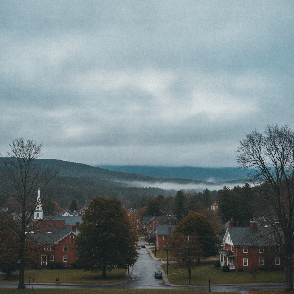
Good day to residents, commuters, and visitors across Bennington County. As we step outside today, conditions across Bennington and our neighboring southwestern Vermont towns—including Old Bennington, North Bennington, Shaftsbury, Pownal, Woodford, and Arlington—are starting out calm and comfortable. The current temperature sits at 66.3°F under partly cloudy skies, accompanied by a light, gentle wind moving at just 4.8 mph. There are currently no active weather alerts, watches, or warnings in effect for the Bennington Valley or surrounding mountain areas, making for a smooth, uninterrupted start to the daily schedule.
Warm and Cloud-Covered in Bennington: Comfortable
Tuesday Forecast: Warm Temperatures and Cloud Cover
Looking at the full outlook for Tuesday, August 11, 2026, temperatures will peak at a warm high of 80.3°F before dropping to an overnight low of 66.3°F. While the morning began with partial cloud cover, conditions are slated to turn overcast as the day progresses. Despite the extensive cloud cover, dry conditions will prevail with a forecast precipitation total of 0 inches and a modest precipitation probability of 18 percent. Winds will pick up slightly compared to current speeds, reaching a maximum gust potential of 13.9 mph. For those traveling along US-7, VT-279, or winding up VT-9 along the Molly Stark Trail toward Woodford, driving conditions remain clear and dry, though overcast skies may keep ambient light somewhat muted across higher elevations.
Wednesday Forecast: Mild Temperatures and Quiet Weather
On Wednesday, August 12, 2026, benign and quiet weather continues across the region. High temperatures will top out at a very comfortable 78.9°F, while nighttime temperatures will cool down noticeably to a refreshed low of 60.9°F. Sky conditions will remain overcast throughout the day, but rain chances drop even lower to a minimal 7 percent probability, with expected precipitation holding steady at 0 inches. Winds will also subside compared to Tuesday, capping out at a gentle maximum speed of 9.2 mph. It will be an ideal day for outdoor chores, casual strolls around Lake Paran in North Bennington, or walking the trail networks near Mount Anthony, as conditions remain consistently dry despite the cloud header.
Thursday Outlook: Rain Showers Return to Southwestern Vermont
By Thursday, August 13, 2026, a subtle shift in our weather pattern brings a chance of light moisture into the Green Mountains. Temperatures will hold steady in the comfortable range, peaking at a daytime high of 77.6°F and dipping to a cooler low of 57.8°F overnight. Unlike the earlier part of the week, Thursday brings slight rain showers into the official forecast. Precipitation probability increases to 20 percent, with an anticipated rainfall accumulation of 0.201 inches. Maximum wind speeds on Thursday will stay light, topping out at around 8.0 mph. While this light rain is not expected to cause severe travel issues, drivers along US-7 and the Molly Stark Trail should be prepared for potentially slick pavement during brief shower activity.
Mountain Recreation and Community Impacts
With temperatures ranging from the upper 70s to low 80s over the next few days, conditions are pleasant for outdoor activities across the region. Those planning hikes on Mount Anthony or excursions into the Green Mountain National Forest should keep in mind that cloud cover will dominate much of the period. While Tuesday’s peak winds of 13.9 mph remain moderate, exposed mountain ridges might feel slightly breezy at times. Lake Paran and local parks remain great spots for daytime recreation, though keep an eye on the sky Thursday when that 20 percent chance of slight rain showers introduces a small risk of damp conditions.
For our commuters traveling between Shaftsbury, Bennington, Pownal, and Arlington, roads are expected to remain dry through Wednesday. However, overnight low temperatures shifting from 66.3°F on Tuesday night down to 57.8°F by Thursday night offer a subtle hint of cooler late-summer air settling into the valleys and mountain hollows. As always, ensure pets have comfortable outdoor shelter and fresh water during the warmer 80.3°F afternoon hours, and keep a friendly eye on vulnerable neighbors as routines continue.
The Bottom Line
The Bottom Line: Expect a tranquil, mostly overcast stretch of weather across Bennington County over the next few days. Tuesday will be warm with a high of 80.3°F and peak winds near 13.9 mph. Wednesday brings overcast skies with a high of 78.9°F and lighter maximum winds of 9.2 mph. Thursday brings our best chance of moisture with slight rain showers yielding around 0.201 inches of rain and a high near 77.6°F. Keep rain gear handy for Thursday, but enjoy the comfortable, dry weather for Tuesday and Wednesday!
Weather data provided by Open-Meteo.
See a typo? Report it here.