
Weather
Damp Sunday Drizzle Gives Way to Monday Rain Before Midweek Milding in Bennington County
Bennington County faces a damp start to the week with light drizzle on Sunday and steadier rain expected Monday. Conditions turn drier and milder by Tuesday as high temperatures reach the 50s across Southwestern Vermont.

About Bennington County weather forecast

Last updated:
A Cool, Damp Start to the Week Across Southwestern Vermont
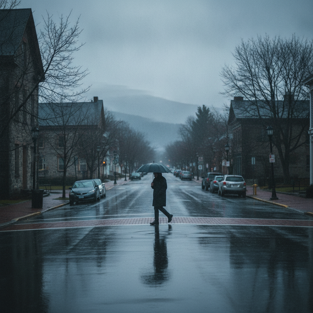
Good day, Bennington County. Grab your light rain jacket and stay mindful on the roads today as a damp, grey pattern settles over the Bennington Valley. As of right now, conditions across the region are overcast, with temperatures holding at a chilly 42.6 degrees Fahrenheit and a light wind blowing at 6.5 mph. It is classic late-autumn weather in southwestern Vermont, bringing plenty of cloud cover and damp conditions for our local communities, from Old Bennington and North Bennington out to Shaftsbury, Pownal, Woodford, and Arlington.
Sunday Breakdown: Light Drizzle and Breezy Intervals
For Sunday, November 8, expect damp conditions to persist throughout the afternoon and evening. The forecast calls for light drizzle with an 80 percent probability of precipitation. While total moisture today will remain light—around 0.02 inches of liquid accumulation—the persistent dampness will keep surfaces wet and chilly. Temperatures will top out at a modest high of 47.6 degrees Fahrenheit before dipping down to a low of 41.0 degrees Fahrenheit overnight.
Winds today could pick up at times, with maximum gusts reaching up to 15.7 mph. If you are out running errands along US-7 or making the climb up the Molly Stark Trail (VT-9) toward Woodford, watch for misty conditions and wet pavement. Reduced visibility and damp asphalt can make travel slick, particularly on higher elevation curves and along the VT-279 bypass where light winds can push mist across the lanes.
Monday Outlook: Steadier Rain for the Workweek Commute
The dampness intensifies on Monday, November 9, as a broader weather system moves into the area, bringing moderate rain across Bennington County. Rain chances stand at 63 percent, with precipitation totals expected to reach around 0.47 inches. Daytime temperatures on Monday will be nearly identical to Sunday’s, topping out around 47.2 degrees Fahrenheit, with overnight lows hovering at 39.9 degrees Fahrenheit. Winds will remain manageable, peaking at 13.0 mph.
Drivers preparing for the Monday morning and evening commutes along US-7 through Shaftsbury and Pownal, or traveling west toward the New York state line, should plan for extra travel time. Nearly half an inch of rainfall combined with wet, decaying fall leaves can create slick spots on mountain highways and town streets alike. Give yourself extra stopping distance and keep your headlights on through the steady rainfall.
Tuesday Turnaround: Drying Out and Warming into the 50s
By Tuesday, November 10, the rain tapering off will offer welcome relief. The forecast calls for overcast skies, but precipitation chances drop sharply to just 14 percent, with 0 inches of measurable rainfall expected. Despite the cloud cover lingering overhead, temperatures will trend upward, reaching a comfortable high of 52.1 degrees Fahrenheit—the mildest afternoon of the three-day stretch.
Tuesday night will bring our coolest reading of this forecast period, with temperatures dropping to a low of 38.7 degrees Fahrenheit under cloudy skies. Maximum wind speeds will hover near 12.8 mph. The break from rain on Tuesday will give local roads and yards a chance to dry out before overnight temperatures cool down into the upper 30s.
Outdoor Recreation & Autumn Preparation
For outdoor enthusiasts heading toward Mount Anthony, Lake Paran, or exploring trails in the Green Mountain National Forest, late fall requires extra preparation. Rain on Sunday and Monday will leave steep trails damp, muddy, and slippery underfoot. With overnight temperatures falling into the upper 30s to low 40s (41.0°F Sunday night, 39.9°F Monday night, and 38.7°F Tuesday night), high-elevation hikes will feel brisk and raw. If you are heading outdoors, wear sturdy, water-resistant footwear and dress in warm layers.
This cool, wet stretch is also a helpful reminder to check in on vulnerable neighbors and ensure outdoor pets have warm, dry shelter. Make sure home heating systems are ready for consistent late-fall use as overnight temperatures stay in the 30s and 40s.
The Bottom Line
Keep your rain gear handy through Monday as light drizzle (0.02 inches today, high 47.6°F) transitions into moderate rain (0.47 inches Monday, high 47.2°F). Look forward to a dry, milder Tuesday with overcast skies and temperatures pushing up to a pleasant 52.1°F.
Weather data provided by Open-Meteo.
Related: Damp Late-August Stretch Brings Rain, Drizzle, and Cooler Temperatures to Bennington County
Related: Bennington County Weather: Comfortable Late-Summer Days Ahead with Rain Chances by Midweek
Related: Warm, Cloudier Pattern Sets In for Bennington County Before Weekend Drizzle and Cooler Air
Related: Bennington Weather: Dense Drizzle Today Ahead of a Dry Saturday and Rainy Sunday
Related: Bennington County Weather: Drizzle Today Ahead of Overcast Skies and a Cool Weekend Drop