Weather
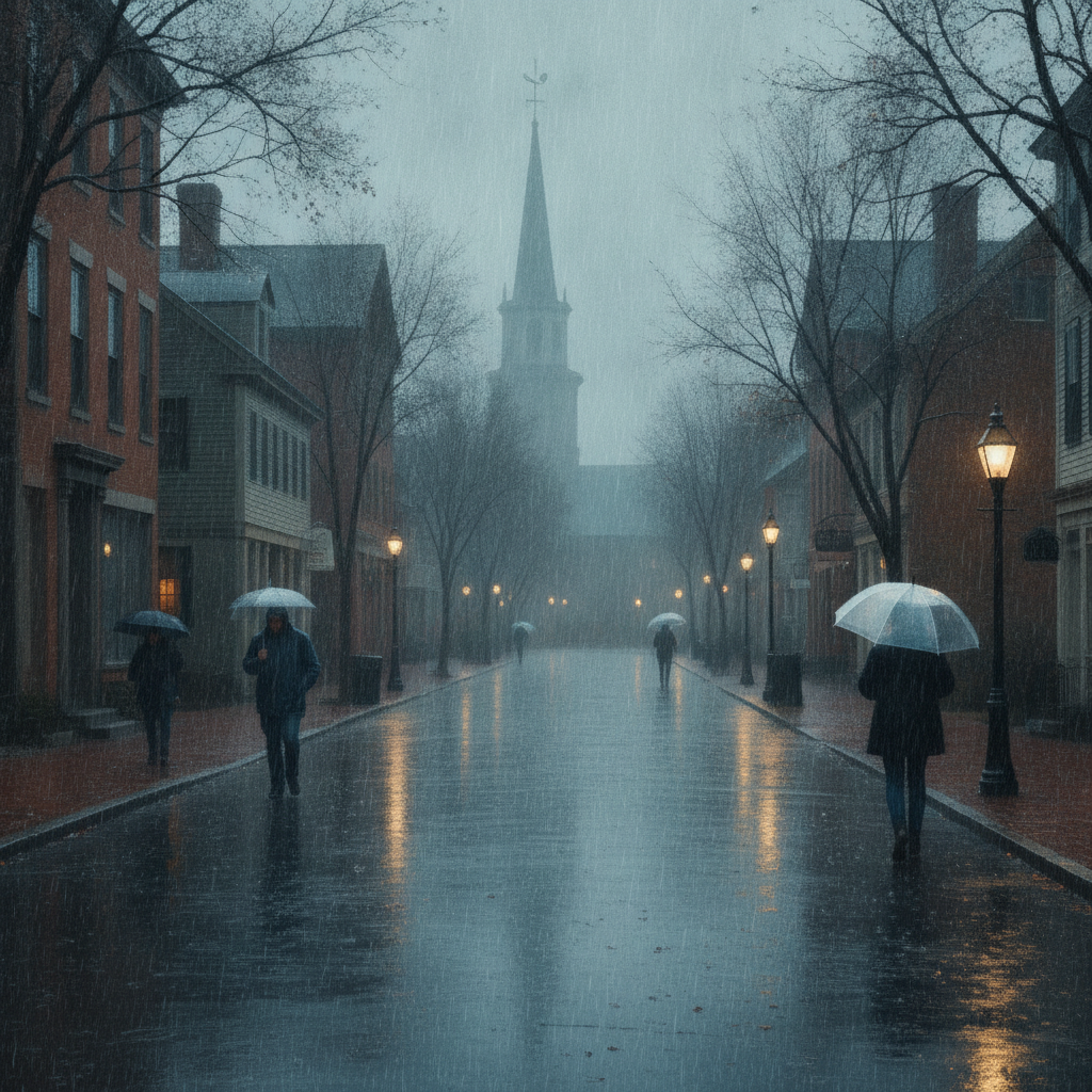
Overcast Skies and Damp Drizzle Highlight Bennington’s November Forecast
Overcast skies and dense drizzle will bring damp, cool weather to Bennington County this week. High temperatures will range from the mid to upper 40s with lows dipping into the 30s. Travel with care on local routes like VT-9 and…


Last updated:
Overcast Skies and Damp Conditions Mark the November Forecast Across Bennington County Bennington VT weather forecast
Good day, Bennington County! Current conditions across the valley feature overcast skies with a temperature of 44.4°F and a light wind out of the area at 8.3 mph. As we look ahead through the next few days, calm but damp late-autumn weather will dominate southwestern Vermont. At present, there are no active weather alerts, watches, or warnings in effect for Bennington or surrounding communities such as Old Bennington, North Bennington, Shaftsbury, Pownal, Woodford, and Arlington. However, cool temperatures and wet surfaces will require a bit of extra care for commuters and outdoor enthusiasts alike.
Detailed Daily Outlook
Monday, November 9: Dense Drizzle and Chilly Breezes
Starting today, Monday, November 9, expect cloud cover to remain firmly locked in across the Green Mountain foothills. The high temperature will reach 49.7°F, while the overnight low will settle down to 40.7°F. The main weather story for today is the presence of dense drizzle. The probability of precipitation stands at 56%, with expected rainfall totals around 0.051 inches. Maximum wind gusts will reach up to 14.2 mph.
Commuter Advisory: If you are traveling along US-7, VT-9 (the Molly Stark Trail), or the VT-279 bypass during the morning or evening commute, be prepared for damp pavement and reduced visibility due to mist and dense drizzle. Take it easy around curves and maintain a safe following distance, especially when ascending into higher elevations toward Woodford on VT-9 where low clouds often hang over the roadway.
Outdoor Recreation: Outdoor plans around Mount Anthony, Lake Paran, or trails within the Green Mountain National Forest will be wet and grey today. While temperatures near 49.7°F are relatively mild for November, damp air combined with winds up to 14.2 mph will make it feel noticeably brisk. Waterproof outer layers and sturdy, slip-resistant footwear are recommended if you plan to walk or hike today.
Tuesday, November 10: Overcast and Cooler
On Tuesday, November 10, the dense drizzle eases, but overcast conditions persist across the Bennington Valley. Temperatures will top out slightly cooler with an afternoon high of 46.7°F and a nighttime low dropping to 36.9°F. The likelihood of precipitation drops off sharply to a 19% probability, with total expected rainfall measuring just a trace at 0.001 inches. Maximum wind speeds will reach 12.8 mph.
With overnight lows dipping into the upper 30s (36.9°F), it will feel crisp across southwestern Vermont. While freezing temperatures are not expected to produce widespread ice based on these figures, damp shaded spots on mountain roads or unpaved town routes could remain slick as surface moisture slowly dries.
Wednesday, November 11: Dry but Cloud-Covered
Midweek brings a continuation of grey, overcast skies on Wednesday, November 11. Temperatures will reach a high of 47.5°F during the afternoon before falling to the coolest low of the three-day period at 35.7°F overnight. Precipitation probability drops to a minimal 9%, with 0 inches of rainfall forecast. Maximum wind speeds will hold steady at 12.5 mph.
Although it will remain entirely overcast, the dry conditions provide a brief break from wet weather, making it a good day to clear fallen leaves from drainage paths or complete late-fall outdoor chores before colder weather arrives.
Seasonal Context and Community Care
November in the Green Mountains is a quiet transition period between fall foliage and early winter snowfall. With high temperatures staying in the mid-to-upper 40s (46.7°F to 49.7°F) and nighttime lows lingering in the 30s and 40s (35.7°F to 40.7°F), we are experiencing classic cool, damp late-autumn weather.
As evening temperatures trend toward 35.7°F by Wednesday night, remember to layer up if you are out after dark. It is also a good time to check on elderly neighbors and ensure outdoor pets have warm, dry shelter protected from damp ground moisture and cold breezes.
The Bottom Line for Bennington
- Monday (Nov 9): High 49.7°F, Low 40.7°F. Overcast with dense drizzle (56% chance, 0.051 in precip). Winds up to 14.2 mph. Watch for damp roads on US-7 and VT-9.
- Tuesday (Nov 10): High 46.7°F, Low 36.9°F. Overcast and mostly dry (19% chance, 0.001 in precip). Max wind 12.8 mph. Chilly overnight.
- Wednesday (Nov 11): High 47.5°F, Low 35.7°F. Overcast and dry (9% chance, 0 in precip). Max wind 12.5 mph. Coldest low of the forecast at 35.7°F.
Weather data provided by Open-Meteo.
Related: Damp Late-August Stretch Brings Rain, Drizzle, and Cooler Temperatures to Bennington County
Related: Warm, Cloudier Pattern Sets In for Bennington County Before Weekend Drizzle and Cooler Air
Related: Bennington County Weather: Comfortable Late-Summer Days Ahead with Rain Chances by Midweek
Related: Border County Tax Pressures Mount as New York Shifts SNAP Costs
Related: Drizzle and Overcast Skies Settle Over Bennington: Late August Valley Forecast