Weather
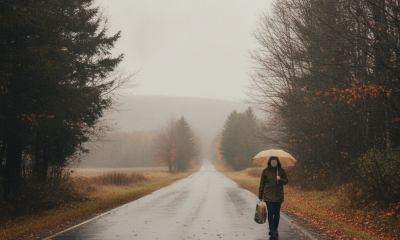
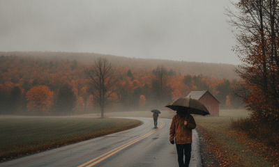
Bennington Weather: Dense Drizzle Today Ahead of a Dry Saturday and Rainy Sunday
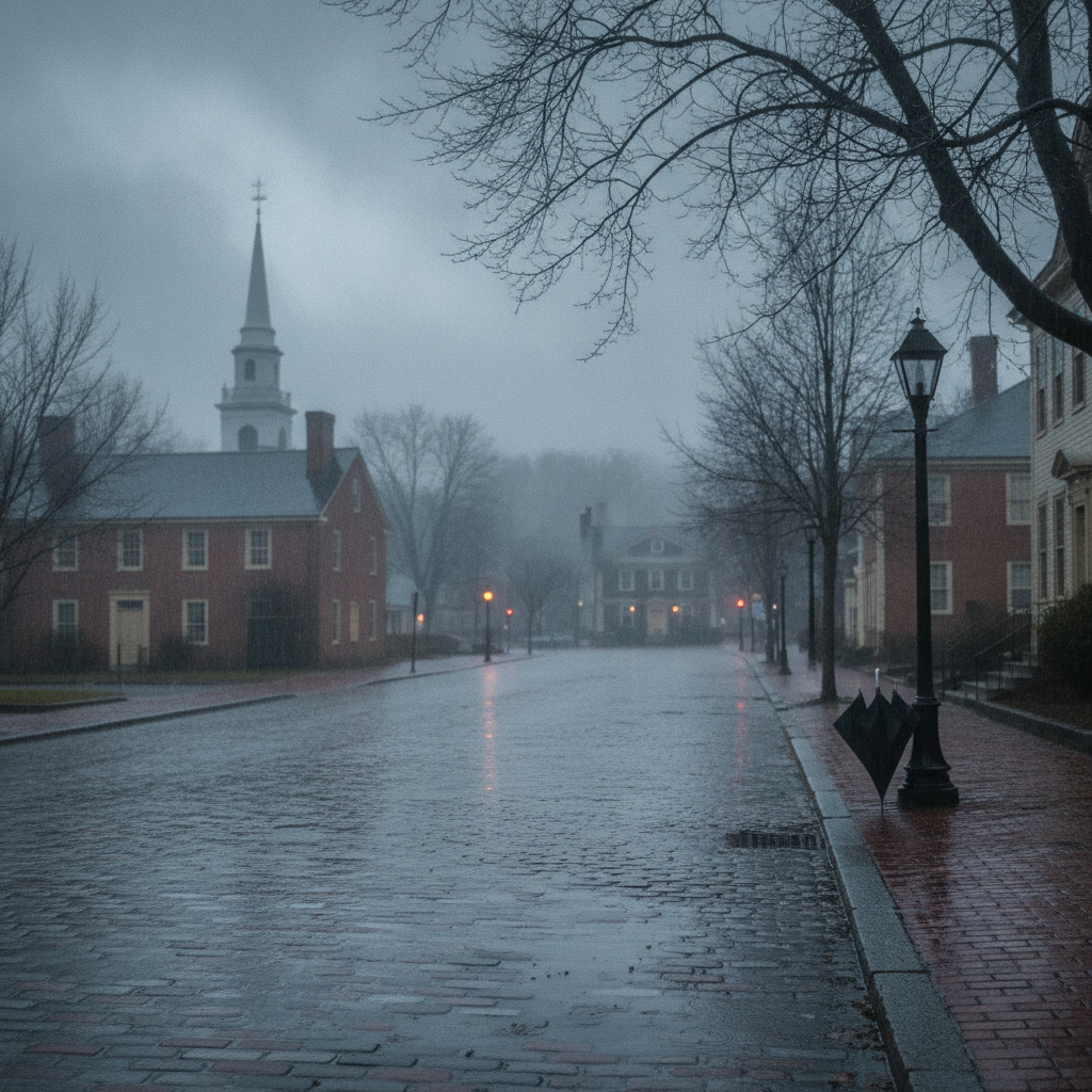
Bennington County faces a changeable weekend forecast, starting with dense drizzle and mild temperatures Friday. Saturday brings a dry, overcast break for outdoor activities before moderate rain and slick roads return across southwestern Vermont on Sunday.

Last updated:
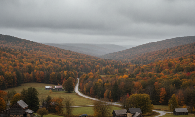
Good morning to Bennington County and our surrounding southwestern Vermont communities. Whether you are stepping out the door in Old Bennington, commuting down Route 7 from Arlington or Shaftsbury, or heading up the mountain passes toward Woodford, we are looking at a distinctly changeable late-summer pattern over the next few days. We start out with mainly clear skies and mild temperatures, transition into periods of damp mist and drizzle, catch a break on Saturday, and finish the weekend with steadier rainfall.
Bennington weather
Current Conditions Around the Bennington Valley
As we get the morning underway, conditions across the valley floor are comfortable and mainly clear. Temperatures are sitting at 58.5 degrees with a gentle wind recorded at 2.9 mph. It is a crisp, pleasant start across our neighborhoods, whether you are walking the dog near Lake Paran in North Bennington or taking an early stroll past the Bennington Battle Monument. However, clouds will thicken as the day progresses, bringing a shift toward damp and murky weather.
Friday Forecast: Dense Drizzle and Mild Afternoon Highs
For today, Friday, August 14, expect overcast skies to take over as dense drizzle moves into southwestern Vermont. Despite the gloomy and mist-laden atmosphere, temperatures will remain seasonable, reaching an afternoon high of 78.7 degrees before dipping back to an overnight low of 58.3 degrees. The probability of precipitation stands at 41 percent, with total moisture accumulations expected to reach approximately 0.09 inches.
Winds will remain very light, topping out at a maximum of 6.5 mph. While we are not dealing with heavy downpours today, the dense drizzle can create fine mist that clings to windshields and slightly dampens area roads. If your Friday routine takes you along US-7 through Pownal or across VT-279, give yourself an extra car length of following distance to account for wet pavement.
Weekend Outlook: A Dry Saturday Followed by a Soggy Sunday
If you have outdoor projects, yard work, or recreational plans around southwestern Vermont, Saturday will be your best window of opportunity before wetter weather settles back in on Sunday.
Saturday, August 15: Overcast but Dry
Saturday offers a quiet, rain-free pause between systems. Skies will stay overcast throughout the day, keeping afternoon high temperatures slightly cooler at 71.7 degrees. Overnight lows will drop down to 55.5 degrees. Precipitation chances plummet to just 1 percent with 0 inches of rain expected, making it an excellent day to visit local farm stands, run weekend errands, or explore the village centers of North Bennington and Arlington without needing an umbrella. Winds will be slightly more noticeable than Friday, reaching a maximum speed of 10.5 mph.
Sunday, August 16: Moderate Rain Returns
Wet weather returns in earnest to close out the weekend on Sunday. Conditions will deteriorate as moderate rain moves across Bennington County. Temperatures will climb to a high of 76.9 degrees before cooling to a low of 53.5 degrees Sunday night. The chance of rain rises significantly to 76 percent, with rainfall totals projected at 0.35 inches. Maximum winds will reach around 10.1 mph.
Travel and Commuting Impacts
Commuters and regional drivers should plan ahead for changing road conditions through the weekend:
- VT-9 / Molly Stark Trail toward Woodford: Dense drizzle today and moderate rain on Sunday can significantly reduce visibility as you gain elevation into the Green Mountains. Watch for misty patches and wet mountain corners.
- US-7 and VT-279 Corridors: Road surfaces may become slick during the Friday drizzle and Sunday rain. Keep headlights on and wiper blades active during periods of low visibility.
- Local Town Roads: With up to 0.35 inches of rain slated for Sunday, unpaved secondary roads in rural parts of Shaftsbury and Pownal may see minor puddling by Sunday evening.
Outdoor Recreation and Mountain Notes
For hikers heading toward Mount Anthony or accessing trails within the Green Mountain National Forest, trail conditions will turn increasingly slick. The 0.09 inches of drizzle today and the 0.35 inches of rain on Sunday will create damp footing on exposed roots and rock ledges. Saturday is by far the preferred day for hiking or enjoying waterside recreation at Lake Paran, thanks to a 1 percent chance of rain and a comfortable high of 71.7 degrees.
For local gardeners, the incoming moisture over the next few days will provide a gentle soaking for late-summer vegetables and perennial beds without delivering severe weather.
The Bottom Line
Keep a light rain jacket handy for dense drizzle and a high of 78.7 degrees today. Plan any major outdoor activities for a dry, overcast Saturday with highs near 71.7 degrees, and keep the umbrella ready for moderate rain and a high of 76.9 degrees on Sunday.
Weather data provided by Open-Meteo.
Related: Autumn Chill Settles Over Bennington County: Drizzle Gives Way to Overcast and Cooler October Days
Related: Damp Late-August Stretch Brings Rain, Drizzle, and Cooler Temperatures to Bennington County
Related: Bennington County Weather: Comfortable Late-Summer Days Ahead with Rain Chances by Midweek
See a typo? Report it here.