Weather
Mild Drizzle Gives Way to a Late-November Freeze Across Bennington County
Bennington County weather shifts from mild, damp conditions with highs near 58 degrees on Sunday to a sharp late-November freeze by Tuesday. Highs drop to 37 degrees with overnight lows plunging to 26 degrees, bringing potential black ice.

About Bennington County weather forecast

Last updated:
As late November settles over southwestern Vermont, residents across the Bennington Valley are experiencing a noticeable atmospheric shift. Current conditions in Bennington show overcast skies with a temperature of 45.7°F and a gentle breeze blowing at 7.9 mph. Over the next three days, our region will move from mild, damp conditions featuring light drizzle into a sharp late-fall freeze. Whether you are commuting along Route 7, traveling over the Molly Stark Trail, or preparing your home for colder weather, here is the complete breakdown of what to expect from Sunday, November 22, through Tuesday, November 24, 2026.
Sunday, November 22: Mild and Damp with Light Drizzle
For Sunday, November 22, temperatures will reach an unseasonably mild high of 57.8°F, while overnight lows will settle at a comfortable 42.3°F. Atmospheric moisture brings light drizzle across Bennington County, including Old Bennington, North Bennington, Shaftsbury, Pownal, Woodford, and Arlington. While overall precipitation totals will remain minimal—expected at just 0.007 inches with a precipitation probability of 8 percent—the damp atmosphere will keep pavement slick throughout the day.
Wind speeds on Sunday will remain modest, topping out at a maximum speed of 10.9 mph. If you are heading out for a walk near Lake Paran or exploring the lower slopes of Mount Anthony, the mild 57.8°F high will feel relatively soft for late November, though damp conditions mean keeping a rain jacket handy is wise.
Monday, November 23: Increasing Winds and Persistent Light Rain
Damp conditions continue into Monday, November 23, as a cooling trend begins to take shape across southwestern Vermont. Monday’s high temperature is forecast to reach 55.3°F before dropping down to an overnight low of 34.2°F. Light drizzle remains in the forecast, with precipitation probabilities slightly higher at 12 percent and total rainfall accumulation reaching 0.016 inches.
The most noticeable change on Monday will be the wind. Maximum wind speeds are expected to increase to 18.3 mph across the valley and surrounding hills. These brisk winds, combined with damp air, will make conditions feel brisk throughout the afternoon. Motorists driving high-profile vehicles along open stretches of US-7 or climbing VT-9 toward Woodford should remain alert to gusty conditions.
Tuesday, November 24: A Sharp Drop in Temperature and Overcast Skies
By Tuesday, November 24, the mild air leaves the Bennington area entirely. High temperatures on Tuesday will struggle to reach 37.1°F—a drop of more than 18 degrees compared to Sunday’s peak. Nighttime temperatures will plunge well below freezing to a crisp low of 26.0°F.
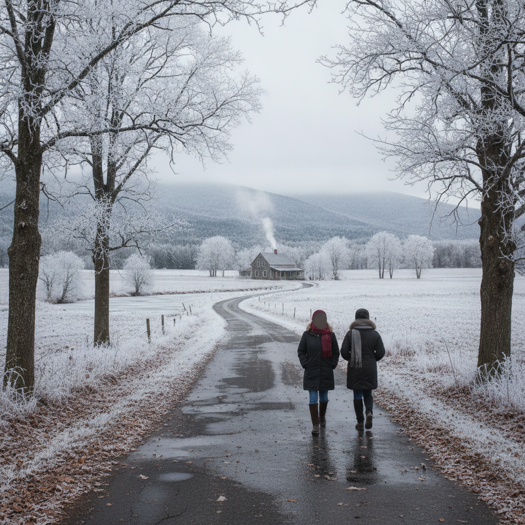
Precipitation chances vanish almost completely on Tuesday, with a precipitation probability of just 2 percent and an expected accumulation of 0 inches. Skies will remain overcast throughout the day, and maximum wind speeds will moderate to 12.0 mph. As temperatures sink to 26.0°F overnight, any lingering moisture on roadways, sidewalks, or bridges could freeze, creating potential black ice hazards for early morning and late evening commuters.
Commuter Impact and Mountain Safety
The transition from mild, damp weather on Sunday and Monday to sub-freezing lows by Tuesday night requires extra caution on local roadways:
- US-7 and VT-279: Road spray and damp pavement from light drizzle (0.007 inches on Sunday and 0.016 inches on Monday) can reduce traction. When temperatures drop to 26.0°F Tuesday night, keep an eye out for frozen patches on overpasses and shaded turns.
- VT-9 (Molly Stark Trail): Elevation changes through Woodford mean temperatures can be even colder than the valley floor. Gusty winds up to 18.3 mph on Monday will be especially noticeable along high-elevation mountain passes.
- Outdoor Recreation: Hikers visiting Mount Anthony or trails within the Green Mountain National Forest should prepare for rapidly shifting conditions. While Sunday offers a mild 57.8°F high, Tuesday’s high of 37.1°F and low of 26.0°F demand proper cold-weather layering and sturdy footwear for damp or frozen terrain.
Neighborhood Care and Winter Readiness
With nighttime temperatures dropping from 42.3°F on Sunday down to 34.2°F on Monday and finally 26.0°F on Tuesday, this forecast marks a clear seasonal shift. Remember to bring sensitive plants indoors and ensure outdoor water hoses are disconnected before Tuesday’s hard freeze. Take a moment to check on elderly neighbors or vulnerable community members as temperatures drop to 26.0°F, and make sure outdoor pets have warm, dry shelter and unfrozen drinking water.
The Bottom Line
Enjoy the mild highs of 57.8°F on Sunday and 55.3°F on Monday despite light drizzle and winds reaching up to 18.3 mph. Be sure to prepare for winter coat weather by Tuesday, when high temperatures top out at just 37.1°F and overnight low temperatures plummet to 26.0°F under overcast skies.
Weather data provided by Open-Meteo.
Related: Drizzle and Overcast Skies Settle Over Bennington: Late August Valley Forecast
Related: Damp Late-August Stretch Brings Rain, Drizzle, and Cooler Temperatures to Bennington County
Related: Bennington County Weekend Forecast: Overcast Skies Give Way to Light Rain and Cooler Temperatures
Related: Bennington County Weather: Drizzle Today Ahead of Overcast Skies and a Cool Weekend Drop