Weather Alerts
Special Weather Statement: Eastern Rensselaer; Southern Washington; Bennington
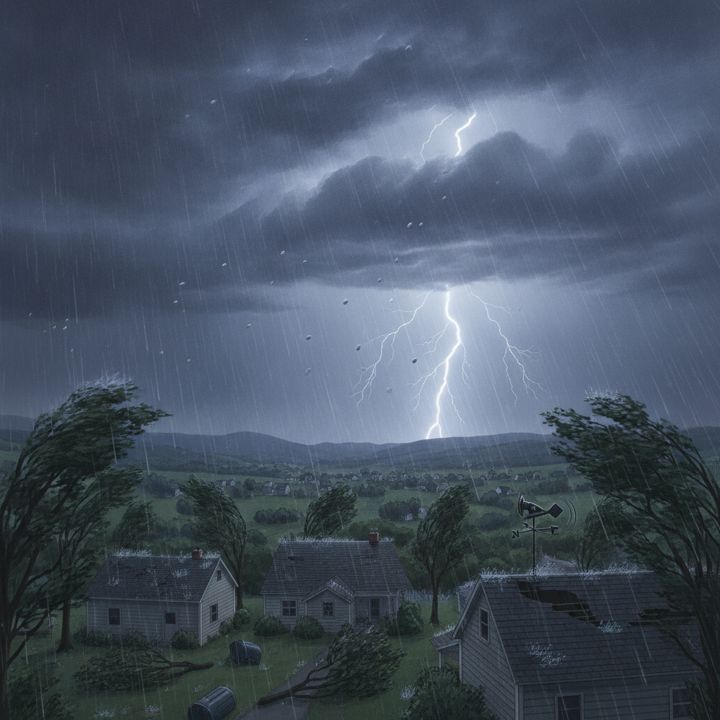
A special weather statement has been issued for Bennington and surrounding areas due to strong thunderstorms with wind gusts up to 40 mph and nickel-sized hail. Residents are advised to seek shelter and prepare for potential minor damage.

Last updated:
Affected area: Eastern Rensselaer; Southern Washington; Bennington
Special Weather Statement: Eastern Rensselaer
Severity: Moderate · Effective: July 28, 2026 12:53 pm · Expires: July 28, 2026 1:15 pm
At 1252 PM EDT, Doppler radar was tracking strong thunderstorms along
a line extending from near Fort Edward to Cambridge to near Hoosick
Falls. Movement was northeast at 35 mph.
HAZARD…Wind gusts up to 40 mph and nickel size hail.
SOURCE…Radar indicated.
IMPACT…Gusty winds could knock down tree limbs and blow around
unsecured objects. Minor hail damage to vegetation is
possible.
Locations impacted include…
Bennington, Hoosick Falls, Arlington, Salem, Manchester, Shaftsbury,
Pownal, Fort Edward, Dorset, Cambridge, Greenwich, Manchester Center,
Hoosick, Porter, White Creek, North Bennington, Sunderland, Rupert,
Woodford, and Sandgate.
Precautionary / preparedness actions
If outdoors, consider seeking shelter inside a building.
Source: NWS Albany NY (U.S. National Weather Service). Always follow official guidance. weather.gov
See a typo? Report it here.