Weather Alerts
Special Weather Statement: Southern Saratoga; Eastern Albany; Western Rensselaer; Eastern Rensselaer; Southern Washington; Bennington
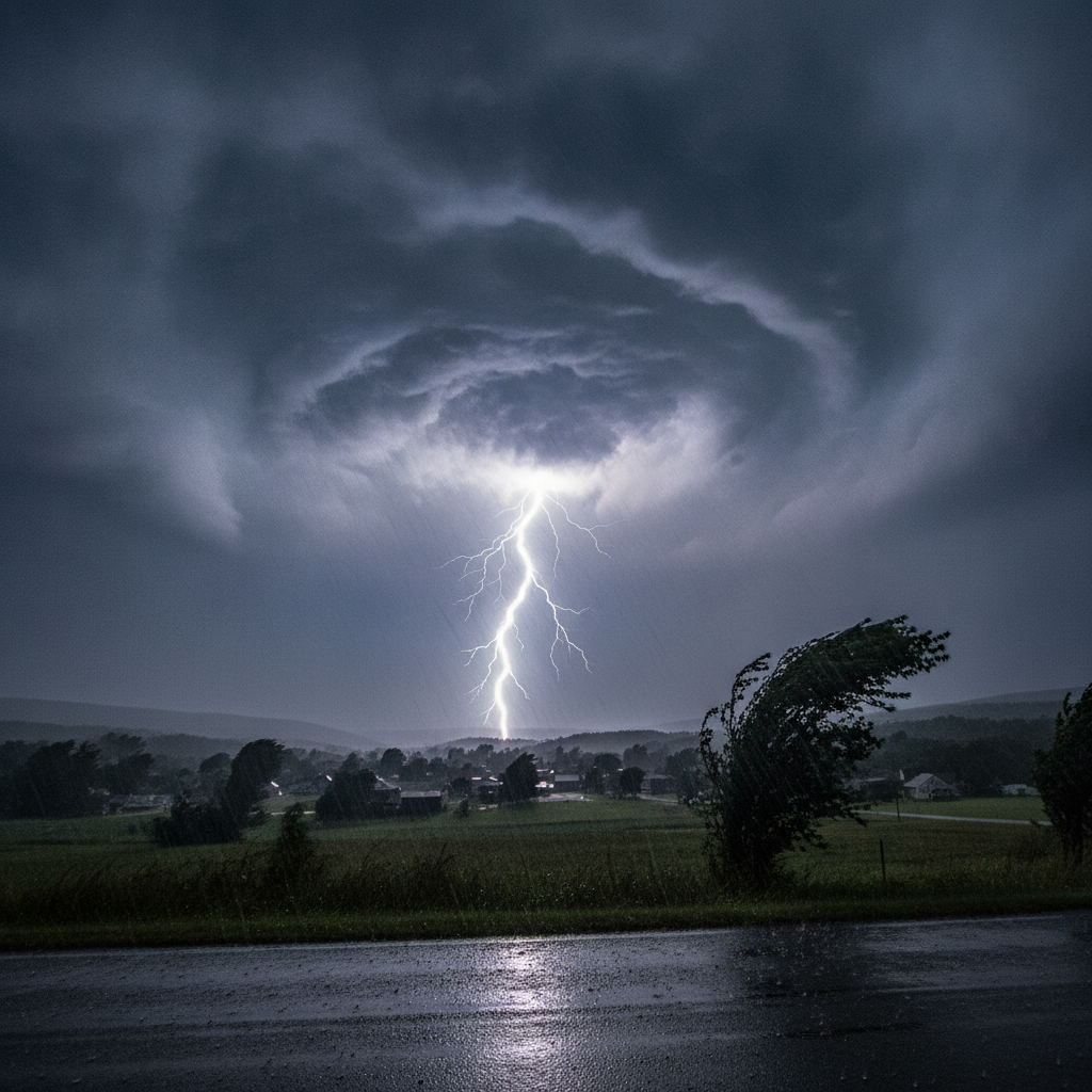
A Special Weather Statement is in effect for Bennington, Shaftsbury, Hoosick Falls, and surrounding areas as a strong thunderstorm moves through the region. Expect wind gusts up to 40 mph, torrential rainfall, and frequent lightning.

About Bennington weather alert
Last updated:
Affected area: Southern Saratoga; Eastern Albany; Western Rensselaer; Eastern Rensselaer; Southern Washington; Bennington
Severity: Moderate · Effective: August 8, 2026 4:22 pm · Expires: August 8, 2026 4:45 pm
At 422 PM EDT, Doppler radar was tracking a strong thunderstorm near
Mechanicville, moving east at 40 mph.
HAZARD…Wind gusts up to 40 mph.
SOURCE…Radar indicated.
IMPACT…Gusty winds could knock down tree limbs and blow around
unsecured objects.
Locations impacted include…
Bennington, Clifton Park, Cohoes, Mechanicville, Hoosick Falls,
Shaftsbury, Waterford, Cambridge, Halfmoon, Hoosick, Lee, Pittstown,
White Creek, Stillwater, North Bennington, Schaghticoke, Valley
Falls, Old Bennington, Schaghticoke Hill, and Center White Creek.
This includes Interstate 87 between exits 8A and 10.
Precautionary / preparedness actions
If outdoors, consider seeking shelter inside a building.
Torrential rainfall is also occurring with this storm and may lead to
localized flooding. Do not drive your vehicle through flooded
roadways.
Frequent cloud to ground lightning is occurring with this storm.
Lightning can strike 10 miles away from a thunderstorm. Seek a safe
shelter inside a building or vehicle.
A Severe Thunderstorm Watch remains in effect until 800 PM EDT for
east central New York.
Source: NWS Albany NY (U.S. National Weather Service). Always follow official guidance. weather.gov
See a typo? Report it here.