Weather
Bennington Valley Weather: Overcast Skies and a Midweek Warming Trend Ahead
Bennington County faces crisp, overcast, and dry conditions this week, with a steady warming trend lifting daytime temperatures from 51 degrees on Tuesday up to 63 degrees by Thursday. Morning commuters should watch for frost along US-7 and VT-9.

Last updated:
Chilly Morning Gives Way to Overcast and Warming Late-October Days
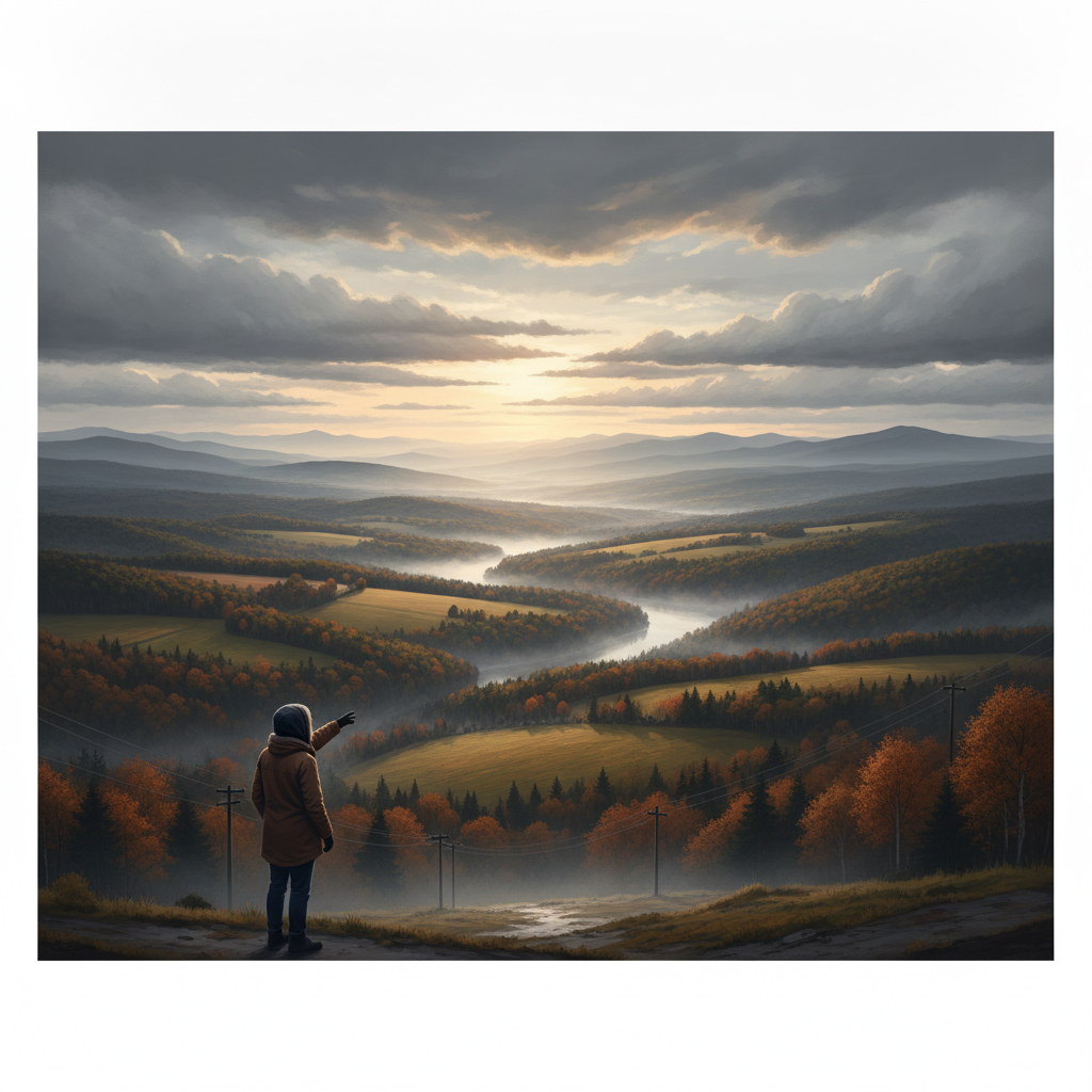
Good morning, Bennington County! We are starting off with crisp, clear autumn skies across the Bennington Valley, with early morning temperatures sitting right at 36.4°F and a gentle breeze blowing at 4.5 mph. As we move deeper into the week, skies will transition to overcast, but weather conditions will remain remarkably dry across southwestern Vermont. Even better news for those looking for a reprieve from the late October chill: a steady warming trend will carry our daytime temperatures from the lower 50s today all the way up into the lower 60s by Thursday.
No Active Weather Alerts, But Frosty Mornings Remain Bennington VT weather forecast
There are currently no active weather alerts, watches, or warnings in effect for Bennington, Old Bennington, North Bennington, Shaftsbury, Pownal, Woodford, or Arlington. However, with overnight low temperatures dipping down into the mid-30s—specifically 34.4°F tonight and 34.8°F on Wednesday night—residents should remain mindful of early morning frost on windshields and outdoor surfaces during the morning commute along US-7, VT-279, and VT-9 (the Molly Stark Trail).
Detailed Three-Day Local Forecast
Tuesday, October 27, 2026: Cool and Overcast
Although we are beginning the day with clear skies, cloud cover will thicken as the day progresses, bringing overcast conditions across the region. Despite the clouds, high temperatures will reach a comfortable 51.4°F. Winds will remain light throughout the day, peaking at a maximum speed of 8.5 mph. Precipitation is not expected today, with a 0% probability of rain and 0 inches of total precipitation expected. Tonight, temperatures will drop back down to a low of 34.4°F under cloud-covered skies.
Wednesday, October 28, 2026: Moderating Temperatures
Overcast skies persist through Wednesday, but warmer air begins to creep into southwestern Vermont. High temperatures will climb to 57.8°F, offering a very pleasant afternoon for outdoor chores, strolls around Lake Paran, or light hiking near Mount Anthony. There is a slight 4% chance of precipitation noted in the forecast, though no measurable rain accumulation is expected (0 inches). Maximum wind speeds will be slightly lighter than Tuesday, reaching up to 7.9 mph. Wednesday night will bring another chilly low of 34.8°F.
Thursday, October 29, 2026: Mild Late-Week Warmth
The warming trend reaches its peak on Thursday. High temperatures will top out at a mild 63.3°F under continued overcast skies. The probability of precipitation returns down to 0%, keeping the region completely dry with 0 inches of rainfall. Peak wind speeds will remain low at 8.0 mph. Overnight conditions will be significantly milder than previous nights, with the low temperature only falling to 42.8°F.
Local Impacts: Commuters, Recreation, and Fall Maintenance
This stretch of calm, dry weather offers ideal conditions across Bennington County:
- Commuting & Driving: Early morning drivers on US-7, VT-279, and VT-9 through Woodford will face clear to overcast skies. With initial temperatures at 36.4°F and overnight lows near 34°F, leave a few extra minutes to defrost vehicle windows. Calm winds (peaking between 7.9 mph and 8.5 mph) mean overall driving conditions will remain clean and straightforward.
- Outdoor Recreation & Fall Foliage: If you are planning an outing in the Green Mountain National Forest or around Mount Anthony and Lake Paran, expect calm, overcast conditions. Highs rising from 51.4°F today to 63.3°F on Thursday make for excellent hiking weather—just remember that higher elevations along the Molly Stark Trail toward Woodford will run cooler than the valley floor.
- Home & Garden Care: With precipitation staying at 0 inches and rain probabilities near zero through Thursday, this is a great window for seasonal tasks like clearing autumn leaves, prepping garden beds for winter, and checking heating systems. With night lows near 34.4°F and 34.8°F, remember to bring tender potted plants indoors and ensure outdoor pets have warm shelter.
The Bottom Line for Southwestern Vermont
Expect overcast but completely dry weather over the next three days, accompanied by light winds under 9 mph and a welcome warm-up from 51.4°F today to 63.3°F by Thursday afternoon. Bundle up for cold starts around 34°F to 36°F, but enjoy the peaceful, dry autumn days ahead!
Weather data provided by Open-Meteo.
Related: Damp Late-August Stretch Brings Rain, Drizzle, and Cooler Temperatures to Bennington County
Related: Warm, Cloudier Pattern Sets In for Bennington County Before Weekend Drizzle and Cooler Air
Related: Bennington County Weather: Comfortable Late-Summer Days Ahead with Rain Chances by Midweek
Related: Border County Tax Pressures Mount as New York Shifts SNAP Costs
Related: Bennington County Weather: Rain Showers Today Followed by Mild, Overcast Midweek Conditions
See a typo? Report it here.