Weather
Damp November Stretch Ahead for Bennington: Rain and Drizzle Settle Into Southwestern Vermont
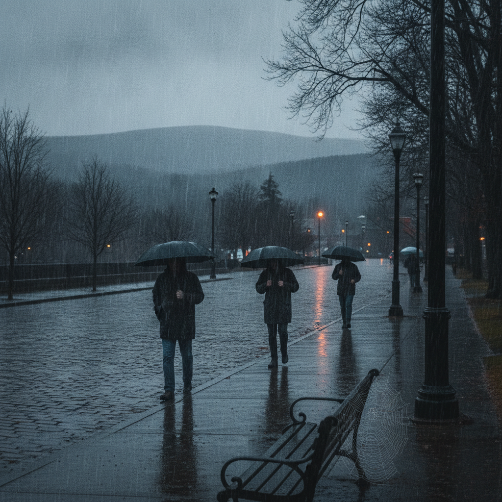
A damp late-autumn weather pattern brings rain and drizzle to Bennington and southwestern Vermont through Monday. Expect high temperatures dropping into the upper 40s, breezy conditions, and slick road surfaces across major local routes like US-7 and Route 9.


Last updated:
Cool, Overcast Conditions Give Way to Rain and Drizzle Across Southwestern Vermont
Good day, Bennington County residents and neighbors! We are stepping into a distinctly damp late-autumn weather pattern across southwestern Vermont. If you are stepping outside right now in Bennington, you will find overcast skies overhead with a current temperature sitting at 49.2 degrees Fahrenheit. Winds are very light out of the gate, recorded at a calm 2.6 miles per hour. There are currently no active weather watches, warnings, or alerts issued by the weather service for our location, but damp and gray weather is set to linger in the Bennington Valley, bringing a sequence of slight rain and moderate drizzle over the coming three days.
Detailed Three-Day Forecast Bennington VT weather forecast
Here is a comprehensive breakdown of what we can expect day by day across Bennington, North Bennington, Old Bennington, Shaftsbury, Pownal, Woodford, and Arlington:
- Saturday, November 7, 2026: Expect overall mild but soggy conditions to kick off the forecast period. Our daily high will reach 54.4 degrees Fahrenheit before dipping down to an overnight low of 42.4 degrees Fahrenheit. The official forecast calls for slight rain, with a 48 percent probability of precipitation and total rainfall expected around 0.252 inches. Wind speeds will remain manageable, peaking at a maximum speed of 11.7 miles per hour. Saturday features the highest daytime temperature of the three-day period, making it feel relatively mild despite the falling rain.
- Sunday, November 8, 2026: Temperatures begin a noticeable downward trend heading into Sunday. Daytime highs will reach 47.4 degrees Fahrenheit, while the overnight low drops down to 40.5 degrees Fahrenheit. The probability of precipitation increases to 60 percent, with conditions described as moderate drizzle. Accumulated moisture will be lighter than Saturday, tallying approximately 0.059 inches of total rainfall. However, winds will strengthen slightly compared to Saturday, reaching maximum wind speeds of 16.6 miles per hour.
- Monday, November 9, 2026: Persistent cloud cover and dampness mark the start of the workweek. The forecast indicates a high of 47.3 degrees Fahrenheit and the coldest night of the period, with the low reaching 35.3 degrees Fahrenheit. Rain probability hits its peak for the three-day stretch at 72 percent, accompanied once again by moderate drizzle totaling roughly 0.075 inches. Winds will stay breezy, with peak gusts or maximum speeds reaching up to 16.7 miles per hour.
Commute and Travel Considerations
With wet weather expected across southwestern Vermont through Monday, local commuters should prepare for wet pavement and potentially reduced visibility during morning and evening drives. Key travel corridors—including US-7 stretching between Pownal, Bennington, and Shaftsbury, the VT-279 bypass, and VT-9 (the Molly Stark Trail) heading east toward Woodford—will see damp surfaces, light rain, and recurring drizzle.
Drivers climbing Route 9 into higher elevations toward Woodford should exercise extra care. Damp autumn leaf litter on wet asphalt can reduce traction. Ensure your windshield wipers are operating effectively and remember to keep your vehicle’s headlights turned on to maximize visibility during misty commutes.
Outdoor Recreation and Mountain Conditions
For those planning outdoor activities near Mount Anthony, around Lake Paran in North Bennington, or along trails in the Green Mountain National Forest, expect soggy trail conditions underfoot. Although Saturday brings a mild high of 54.4 degrees Fahrenheit, the 0.252 inches of rainfall will leave ground surfaces soft and muddy.
As cooler air arrives Sunday and Monday (with highs hovering around 47.4 degrees Fahrenheit and 47.3 degrees Fahrenheit), combined with winds gusting between 16.6 and 16.7 miles per hour, conditions will feel noticeably chillier at higher elevations. Be sure to dress in waterproof outer layers if you plan to walk local trails or complete late-season yard cleanup.
Community Care and Household Planning
With nighttime temperatures dropping into the mid-30s—specifically reaching 35.3 degrees Fahrenheit by Monday night—the combination of dampness and cool air can feel quite raw. It is a great time to check in on elderly neighbors and ensure family pets have dry, warm shelter away from the damp weather. Keeping pets dry and indoors during prolonged drizzle helps prevent cold stress as late autumn advances.
The Bottom Line
Keep your rain jacket and umbrella near the door! Bennington County is in for a wet, overcast sequence. Saturday offers the mildest temperatures at 54.4 degrees Fahrenheit alongside slight rain, followed by cooler, drizzly days on Sunday and Monday with highs in the upper 40s and maximum winds reaching 16 to 17 miles per hour.
Weather data provided by Open-Meteo.
Related: Damp Late-August Stretch Brings Rain, Drizzle, and Cooler Temperatures to Bennington County
Related: Warm, Cloudier Pattern Sets In for Bennington County Before Weekend Drizzle and Cooler Air
Related: Bennington County Weather: Comfortable Late-Summer Days Ahead with Rain Chances by Midweek
Related: Border County Tax Pressures Mount as New York Shifts SNAP Costs
Related: Mild November Weather for Bennington County: Overcast Skies and Highs Near 68 Degrees