Bennington, VT News
Flash Flood Risks Threaten Bennington Region
Southwestern Vermont and neighboring Eastern New York face oppressive heat and localized flash flood risks through Wednesday night. Heat index values could reach 104 degrees, while lingering thunderstorms threaten sudden runoff and localized power outages.

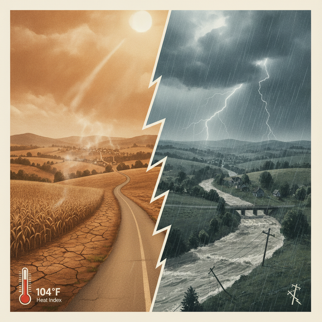
Regional emergency management officials and forecasters are advising residents across Southwestern Vermont and neighboring Eastern New York to stay weather-aware as severe localized flash flood threats linger through Wednesday night.
Flash Flood Risks Threaten Bennington Region
Thunderstorms and Flash Flood Threats
Alongside the extreme heat, lingering thunderstorm cells are moving across northern New York and southern Vermont. According to the National Weather Service, while widespread flooding is not expected, localized flash flooding remains a real risk when storms pass repeatedly over the same spot.
Low-lying areas, valleys, and roads with poor drainage are particularly vulnerable to sudden runoff. In neighboring Eastern New York, recent Flash Flood Warnings were triggered after 2 to 4 inches of rain fell rapidly, with an additional 1 to 2 inches possible in impacted zones.
In addition to heavy downpours, strong storm cells can produce gusty winds and hail, raising the potential for downed tree branches and localized power outages.
How This Affects You
As these weather systems move through our region through Wednesday night, keep an eye on radar updates and stay prepared for sudden changing conditions. Never attempt to drive through flooded roadways or standing water, and keep mobile devices charged to receive local emergency notifications.
Sources
- National Weather Service
- WWA Summary by Location for 43.39N 72.7W with VTZ020/VTC027/VTZ034 emphasis Heat Advisory
- National Weather Service
- NATIONAL WEATHER SERVICE-FLASH FLOOD WARNING
This article was produced with the assistance of AI and reviewed by our editorial team.
See a typo? Report it here.