Weather
Damp Autumn Stretch Ahead for Bennington County: Moderate Rain and Light Drizzle Expected Through Tuesday
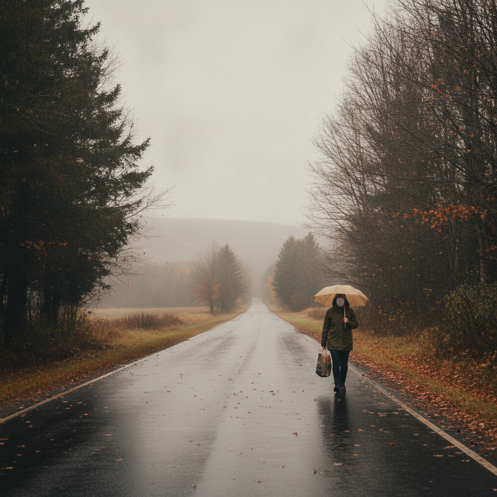
Bennington County faces a damp mid-October stretch with moderate rain and light drizzle forecast through Tuesday. Daily highs will reach the 60s, while wet fallen autumn leaves may create slick road conditions along major routes like U.S. Route 7 and…

About Bennington County weather forecast
Last updated:
Good day to everyone across Bennington, Old Bennington, North Bennington, and our neighboring Southwestern Vermont communities of Shaftsbury, Pownal, Woodford, and Arlington. We are stepping into a distinctly damp mid-October stretch across the Bennington Valley and the surrounding peaks of the Green Mountains. Currently, weather conditions show overcast skies with a temperature standing at 48.5 degrees Fahrenheit. A gentle breeze is blowing at 7.2 mph, giving the morning air a crisp, autumnal chill. As we look at the daily forecast from Sunday, October 11 through Tuesday, October 13, wet conditions and cloud cover will remain the defining feature of our weather.
There are currently no active weather alerts, watches, or warnings in effect for Bennington County. However, residents, daily commuters, and visitors should plan for steady precipitation over the next couple of days before conditions taper off to light drizzle by early next week.
Detailed Three-Day Forecast Breakdown
Sunday, October 11: Moderate Rain and Cool Temperatures
Our forecast for Sunday brings widespread moderate rain across the county. We are expecting a daytime high temperature reaching 60.9 degrees Fahrenheit, with overnight lows dipping down to 43.8 degrees. The probability of precipitation stands high at 85 percent, with accumulated rainfall expected to total around 0.228 inches. Winds will stay light, peaking at a maximum speed of 7.5 mph. If you are heading out for Sunday errands or outdoor plans, keep rain gear handy, as precipitation will be steady throughout much of the day.
Monday, October 12: High Rain Probabilities with Mild Air
Rain chances peak on Monday, October 12, with an 89 percent probability of moderate rainfall. Rain accumulation is forecast at 0.169 inches. Despite the wet weather, temperatures will trend slightly milder, climbing to a high of 64 degrees Fahrenheit. Nighttime temperatures will remain relatively elevated under cloudy skies, dropping only to a low of 51.9 degrees. Maximum wind speeds will reach 9.1 mph.
Tuesday, October 13: Light Drizzle Tapering Off
By Tuesday, October 13, rainfall intensity will ease significantly, shifting into a light drizzle. While precipitation probability remains elevated at 73 percent, measurable rainfall drops to just 0.016 inches. Temperatures will remain comfortable, with a high reaching 62.8 degrees Fahrenheit and an evening low of 53.1 degrees. Winds will be slightly stronger than previous days, topping out at 10.2 mph.
Commute and Roadway Impacts
Commuters navigating major local routes such as U.S. Route 7, Vermont Route 279 (the Bennington Bypass), and Vermont Route 9 (the Molly Stark Trail) should drive with extra caution. Wet, fallen autumn leaves on asphalt can create slick driving conditions akin to black ice, especially on winding, high-elevation stretches of VT-9 climbing toward Woodford. Allow extra stopping distance, turn on headlights in foggy or dark rain conditions, and drive slowly through Old Bennington, North Bennington, Shaftsbury, and Pownal.
Mountain and Outdoor Recreation Outlook
For outdoor enthusiasts and leaf-peepers visiting Southwestern Vermont, wet weather will require appropriate rain gear. Hikers visiting Mount Anthony, Lake Paran, or trails within the Green Mountain National Forest should anticipate muddy and slippery conditions. While highs between 60.9 and 64 degrees mean freezing temperatures are not a concern, damp clothing combined with winds up to 10.2 mph can cause discomfort at higher elevations. Stick to marked trails and wear waterproof footwear.
Seasonal Context and Community Safety
Mid-October rain tends to accelerate leaf drop across the Bennington Valley. With expected rain totals summing to roughly 0.413 inches over three days (0.228 inches on Sunday, 0.169 inches on Monday, and 0.016 inches on Tuesday), wet leaves can quickly clog storm drains. Property owners are encouraged to clear leaves from street grates to help prevent minor localized water pooling.
Additionally, keep pets dry and comfortable during soggy days. It is also a good neighborly practice to check in on elderly residents across Arlington, Shaftsbury, and Pownal during extended gloomy stretches.
The Bottom Line
Keep umbrellas ready through Tuesday. Expect moderate rain and highs around 60.9 to 64 degrees on Sunday and Monday, followed by mild light drizzle on Tuesday. Exercise care on leaf-covered roads like US-7 and VT-9, and enjoy a wet, peaceful autumn week in Southwestern Vermont!
Weather data provided by Open-Meteo.
Related: Damp Late-August Stretch Brings Rain, Drizzle, and Cooler Temperatures to Bennington County
Related: Warm, Cloudier Pattern Sets In for Bennington County Before Weekend Drizzle and Cooler Air
Related: Bennington County Weather: Comfortable Late-Summer Days Ahead with Rain Chances by Midweek
Related: Border County Tax Pressures Mount as New York Shifts SNAP Costs
Related: Bennington County Weekend Forecast: Overcast Skies Give Way to Light Rain and Cooler Temperatures
See a typo? Report it here.