Weather
Bennington County Weekend Forecast: Overcast Skies Give Way to Light Rain and Cooler Temperatures
Bennington County will see a dry, overcast Saturday with highs near 76 degrees before light rain and cooler temperatures arrive for Sunday and Monday. Travelers along Route 7 and Route 9 should prepare for damp road conditions.

Last updated:
A quiet, comfortable late-summer pattern is unfolding across southwestern Vermont as Bennington County moves through the weekend. Current observations around the valley show overcast skies with a temperature of 57.8°F and calm winds at just 2.5 mph. There are currently no weather alerts, watches, or warnings in effect for the region, setting the stage for steady, predictable conditions for residents, weekend travelers, and commuters heading through the Bennington Valley.
Bennington County Weekend Forecast: Overcast Skies
Current Conditions and Saturday Forecast (August 22, 2026)
For today, August 22, the region will remain under overcast skies from morning through evening. Temperatures are forecast to reach a seasonal high of 75.7°F during the afternoon, with a pleasant overnight low settling down to 56.5°F. Rain is not expected to be a factor for your Saturday plans; the probability of precipitation stands at a minimal 3%, with an expected precipitation total of 0 inches. Winds will remain very gentle, topping out at a maximum speed of 9.3 mph across the area.
These conditions make Saturday the driest and most settled day of the three-day forecast window. Whether you are running errands in downtown Bennington, taking a stroll through Old Bennington, or traveling between North Bennington and Shaftsbury, outdoor plans should proceed without weather disruptions.
Sunday Outlook: Rain Moves In (August 23, 2026)
A weather transition begins on Sunday, August 23, bringing increased cloud moisture and unsettled conditions to Bennington County. Sunday will feature slight rain, with precipitation chances climbing to 66%. Total rainfall for the day is expected to reach approximately 0.07 inches. High temperatures will remain mild, reaching 73.3°F, while nighttime temperatures will stay relatively elevated, holding at a mild low of 62.4°F.
In addition to the incoming showers, winds will pick up slightly compared to Saturday. Maximum wind gusts and sustained speeds are expected to peak at 15.9 mph. While this does not represent severe wind, it will create a noticeably breezier atmosphere across open valley floors and higher terrain, especially when paired with scattered rain showers.
Monday Outlook: Moderate Drizzle and Cooler Air (August 24, 2026)
Heading into the new workweek on Monday, August 24, damp conditions will linger across the region. The forecast calls for moderate drizzle throughout the day. Although the overall probability of precipitation drops to 31%, cumulative moisture will be slightly higher than Sunday, with total precipitation projected at 0.15 inches. Temperatures will trend slightly cooler, with an afternoon high topping out at 70.6°F and nighttime lows dipping back down to a crisp 55.5°F. Maximum wind speeds on Monday will ease slightly compared to Sunday, reaching up to 11.3 mph.
Travel and Commuter Impacts
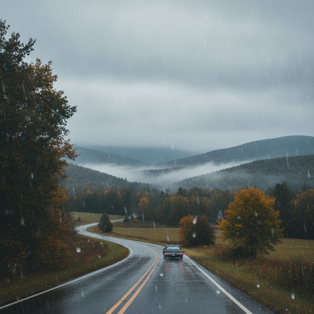
Travel conditions throughout southwestern Vermont will shift between dry roads on Saturday and damp surfaces heading into Sunday and Monday:
- US-7 Corridor (Pownal, Bennington, Shaftsbury, Arlington): Saturday travel will be smooth under dry pavement. Sunday and Monday will bring wet pavement and spray from light rain and moderate drizzle. Keep a safe following distance during heavier damp stretches.
- VT-9 / Molly Stark Trail (Woodford and the Green Mountains): Elevation gains toward Woodford can see lowered cloud ceilings and damp roadway surfaces on Sunday and Monday. Maximum wind speeds reaching 15.9 mph on Sunday may be felt more distinctly along exposed mountain curves.
- VT-279 (Bennington Bypass): Expect clear visibility on Saturday with calm winds. Watch for isolated wet patches and moderate drizzle on Sunday afternoon and Monday.
Outdoor Recreation and Mountain Planning
For outdoor enthusiasts looking to hike around Mount Anthony, explore trails in the Green Mountain National Forest, or spend time near Lake Paran, timing will be key this weekend:
- Saturday: Ideal for hiking, walking, and lake recreation. Highs near 75.7°F and peak winds below 10 mph provide comfortable, stable conditions with 0 inches of precipitation expected.
- Sunday: If heading outdoors, bring water-resistant gear. A 66% chance of slight rain and wind speeds reaching up to 15.9 mph will make exposed ridge trails cooler and slick underfoot.
- Monday: Moderate drizzle (0.15 inches expected) and highs near 70.6°F will make for damp trail conditions. Rocks and exposed tree roots on local hiking trails will require extra caution.
The Bottom Line
Enjoy a comfortable, overcast, and dry Saturday with highs reaching 75.7°F. Prepare for umbrellas and damp windshields on Sunday as slight rain arrives (0.07 inches, 66% chance) with wind gusts up to 15.9 mph. The pattern wraps up on Monday with cooler air at 70.6°F and lingering moderate drizzle (0.15 inches) before skies start to stabilize.
Weather data provided by Open-Meteo.
Related: Traffic Reports
Related: Damp Late-August Stretch Brings Rain, Drizzle, and Cooler Temperatures to Bennington County
Related: Bennington and Surrounding areas Events
Related: Bennington Forecast: Morning Fog and Mild Skies Precede Heavy Late-Weekend Downpours
Related: Humid Stretch with Moderate Rain and Monday Thunderstorms Across Bennington County
Related: Putting the Dinner Back in Sunday Dinner
Related: Bennington Weather: Warm, Overcast Sunday Ahead of Early-Week Rain
Related: Crisp Autumn Days Ahead: Beautiful Foliage Weekend in Bennington County Before Sunday Showers
Related: Warm, Cloudier Pattern Sets In for Bennington County Before Weekend Drizzle and Cooler Air
Related: Bennington County Weather: Comfortable Late-Summer Days Ahead with Rain Chances by Midweek
Related: Dry Overcast Saturday Gives Way to Soaking Autumn Rain Across Bennington County
Related: Border County Tax Pressures Mount as New York Shifts SNAP Costs
See a typo? Report it here.