Weather
Bennington VT Weather Forecast: Moderate Drizzle Today Ahead of a Cooler, Cloud-Filled Weekend
A damp Thursday brings moderate drizzle and mild temperatures to Bennington and southwestern Vermont before drier, overcast conditions arrive. Expect a cooler, autumn-like shift heading into the weekend, with Saturday highs reaching only into the upper 60s across Bennington County.

Last updated:
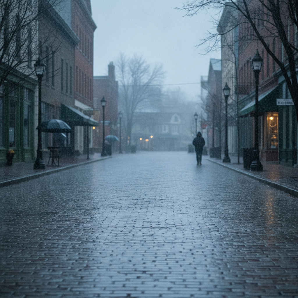
An overcast morning and damp pavement greet southwestern Vermont today as gray skies settle over the valley and surrounding peaks. Current observations across the Bennington area show an overcast sky with a temperature of 66.5 degrees and a gentle breeze blowing at 9 mph. While there are no active weather alerts, watches, or warnings in effect from the National Weather Service, residents can expect a rather soggy stretch through the day before a notably cooler, autumn-like air mass takes hold for the weekend.
Bennington Weather: Moderate Drizzle and Mild Temperatures Today
For Thursday, September 3, 2026, conditions will remain predominantly gray and damp across Bennington, Old Bennington, and neighboring North Bennington. Expect periods of moderate drizzle throughout the day, supported by a 74 percent chance of precipitation. Overall liquid accumulation will remain modest, totaling approximately 0.03 inches across the area. Even with the constant cloud cover and mist, daytime temperatures will reach an afternoon high of 77.5 degrees, while overnight lows are forecast to drop to 64.0 degrees. Winds will peak at roughly 14.2 mph, providing a steady breeze through the valley corridors.
Commuter Impacts Along Southwestern Vermont Corridors
Drivers navigating Bennington County should be prepared for wet road surfaces, reduced visibility, and periodic tire spray during both the morning and evening commutes. Commuters traveling on US-7 through Pownal to the south or heading north toward Shaftsbury and Arlington will encounter persistent dampness and mist that will keep windshield wipers engaged. For those traveling east or west on VT-9 (the Molly Stark Trail) climbing into Woodford, or taking the Bennington Bypass along VT-279, lower cloud bases can bring reduced visibility at higher elevations. While major accumulation is not expected, light drizzle and road oils can make turns slick, so giving yourself a few extra car lengths on the highway is a wise precaution.
Bennington Weekend Forecast: Clouds Persist as Temperatures Ease
The dampness eases up as we head into Friday and Saturday, though sunshine will remain hard to come by as cloud cover holds firm across the Green Mountain State.
Bennington County Weather Details for Friday and Saturday
- Friday, September 4, 2026: Overcast conditions continue across the Bennington Valley, but the threat of rain will drop significantly. The precipitation probability falls to just 11 percent with zero measurable rainfall anticipated. High temperatures will top out at a comfortable 75.3 degrees before dropping down to a cooler overnight low of 60.4 degrees. Winds will be lighter than Thursday, reaching a maximum speed of 11.4 mph.
- Saturday, September 5, 2026: Saturday brings a more definitive early-autumn shift to southwestern Vermont. Skies will remain overcast from start to finish, with rain chances held down at 14 percent and zero precipitation expected. High temperatures will struggle to climb, peaking at 68.8 degrees in the afternoon. Nighttime will feel noticeably crisper, with the low tumbling down to 53.7 degrees. Maximum wind speeds will diminish further, topping out at around 9.4 mph.
Outdoor Recreation, Trails, and Community Considerations
For outdoor enthusiasts planning excursions around Mount Anthony, the Green Mountain National Forest, or local walks around Lake Paran, today will require water-resistant outer layers and proper footwear. Even light accumulations like today’s 0.03 inches of drizzle can leave roots, rocks, and wooden footbridges slippery on steeper ascents. As drier, cooler conditions arrive for Friday and Saturday, conditions will improve for trail walking and lakeside strolls, although cloudy skies will keep solar warming to a minimum.
With daytime highs shifting from 77.5 degrees today down to 68.8 degrees on Saturday, and night temperatures sinking to 53.7 degrees, local households and pet owners will notice the crispness in the evening air. While conditions are far from extreme and no weather alerts are posted, early-season temperature drops can be tough on vulnerable neighbors and older adults sensitive to rapid cooling. Make sure outdoor pets have a warm, dry shelter to retreat into as night temperatures drop toward the lower 50s by Saturday night.
The Bottom Line
Keep the rain jacket and umbrella within reach today for widespread moderate drizzle, a 74 percent chance of light precipitation, and a mild high of 77.5 degrees. Plan for wet roadways along US-7 and VT-9. Friday and Saturday will dry out with zero measurable rain expected, but overcast skies will linger as daytime highs slide into the upper 60s and night lows fall to a cool 53.7 degrees by Saturday night.
Weather data provided by Open-Meteo.
Related: Warm, Cloudier Pattern Sets In for Bennington County Before Weekend Drizzle and Cooler Air
Related: Bennington 250 Announces ‘250 for 250’ Year-End Gala to Support Anniversary Celebrations
Related: Damp Late-August Stretch Brings Rain, Drizzle, and Cooler Temperatures to Bennington County
Related: Bennington Battle Day Marked as Historic Monument Awaits Repairs
Related: Bennington County Weather: Comfortable Late-Summer Days Ahead with Rain Chances by Midweek
Related: Border County Tax Pressures Mount as New York Shifts SNAP Costs
See a typo? Report it here.