Weather
Crisp October Sun Gives Way to Milder, Cloudier Stretch Across Bennington County
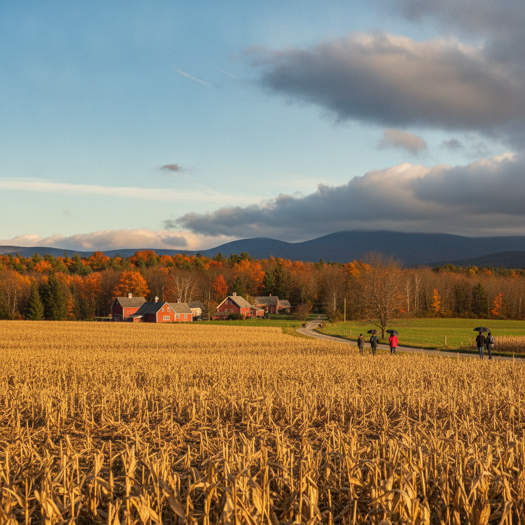
Crisp, sunny weather across Bennington County gives way to a milder, cloudier stretch this week. Expect high temperatures reaching the lower 60s by Tuesday, with no rain expected through early week following a frosty Sunday morning.

About Bennington County VT weather forecast
Last updated:
Good morning, southwestern Vermont! We are waking up to a textbook crisp autumn morning across the Bennington Valley. As of early today, our current temperature in Bennington stands at 28.6°F with a gentle breeze of just 1.7 mph beneath completely clear skies. Under these clear conditions, morning temperatures dipped to a freezing low of 26.7°F before sunshine began warming our region.
Sunday Forecast: Bright Skies and Cool Temperatures
Throughout the day on Sunday, October 18, 2026, expect vibrant sunshine to dominate. High temperatures will climb to a pleasant 53.3°F. It will remain exceptionally calm on the wind front, with maximum wind speeds reaching only 6.9 mph. Rain is out of the picture today, with precipitation probability pegged at a negligible 1% and 0 inches of total rainfall expected.
For early drivers heading out along US-7, the VT-279 bypass, or traveling up VT-9 (the Molly Stark Trail) toward Woodford and Searsburg, the primary concern this morning is the freeze factor. With temperatures starting out at 28.6°F, you will definitely need a few extra minutes to scrape frosty windshields before hitting the road. As temperatures recover into the mid-50s by afternoon, driving conditions across Old Bennington, North Bennington, Shaftsbury, and Pownal will be smooth and dry.
If your Sunday plans include outdoor recreation around Mount Anthony, walking around Lake Paran, or hitting trails within the Green Mountain National Forest, today offers fantastic fall weather. Just be sure to layer up if you are heading out early, as higher elevation stretches like Woodford will hold onto that morning chill longer. With calm winds peaking at under 7 mph, it will be a wonderful afternoon for leaf-peeping or finishing up seasonal yard work.
Early Week Forecast: Increasing Clouds and a Warming Trend
Moving into Monday, October 19, our weather pattern shifts slightly as a cloud deck rolls in, though milder temperatures will accompany the overcast skies. Monday’s high temperature will reach a comfortable 60.0°F, while overnight lows will be much milder than recent nights, dropping only to 42.8°F. Winds will remain light to gentle, maxing out at 9.5 mph. Precipitation probability remains at 0%, keeping moisture completely off the radar with 0 inches expected.
By Tuesday, October 20, overcast skies will persist across Arlington and the rest of Bennington County. However, temperatures will continue their modest upward trend. Expect a daily high reaching 62.3°F after starting from an overnight low of 40.2°F. Maximum wind speeds on Tuesday will top out around 9.2 mph, providing a soft breeze amidst the persistent cloud cover. Like Monday, Tuesday carries a 0% chance of precipitation with 0 inches of rain in the forecast.
Seasonal Context, Pet Safety, and Community Care
As we move deeper into mid-October, the morning drop into sub-freezing territory serves as a classic Vermont seasonal reminder. While daytime highs of 53.3°F today, 60.0°F on Monday, and 62.3°F on Tuesday offer comfortable opportunities for outdoor chores and autumn walks, the chilly overnight conditions mean sensitive outdoor plants should be brought inside to wrap up the late-season freeze prep across North Bennington and Shaftsbury.
Additionally, make sure your pets have warm shelter during these cold morning hours. When morning temperatures hover in the upper 20s (such as our current 28.6°F), avoid leaving pets outside for extended periods without adequate protection. Check in on elderly neighbors in Pownal, Arlington, and Old Bennington to ensure heating systems are humming along smoothly as sub-freezing morning lows return to the valley.
The Bottom Line for Bennington County
- Sunday (Oct 18): Clear and crisp. Morning low of 26.7°F (currently 28.6°F), warming to a high of 53.3°F. Winds up to 6.9 mph; 1% chance of precipitation (0 inches).
- Monday (Oct 19): Overcast but milder. High of 60.0°F, low of 42.8°F. Winds peaking at 9.5 mph; 0% chance of rain (0 inches).
- Tuesday (Oct 20): Overcast and mild. High of 62.3°F, low of 40.2°F. Winds up to 9.2 mph; 0% chance of rain (0 inches).
Enjoy the dry stretch of weather across southwestern Vermont, and keep those autumn jackets handy for the frosty morning starts!
Weather data provided by Open-Meteo.
Related: Damp Late-August Stretch Brings Rain, Drizzle, and Cooler Temperatures to Bennington County
Related: Warm, Cloudier Pattern Sets In for Bennington County Before Weekend Drizzle and Cooler Air
Related: Bennington County Weather: Comfortable Late-Summer Days Ahead with Rain Chances by Midweek
Related: Border County Tax Pressures Mount as New York Shifts SNAP Costs
Related: Bennington County Weekend Forecast: Overcast Skies Give Way to Light Rain and Cooler Temperatures
See a typo? Report it here.