Weather
Bennington County Weather: Crisp Morning Skies Yield to Overcast Conditions Ahead of Sunday Rain
Bennington County starts with crisp, clear skies before clouds increase today with mild highs in the mid-70s. Rain moves into southwestern Vermont on Sunday, bringing wet roadways ahead of a cooler, drizzly pattern to start the workweek.

Last updated:
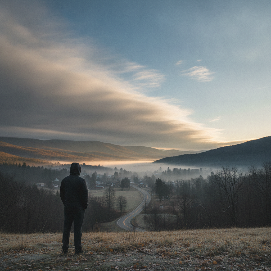
Good morning, Bennington County. Residents waking up across the valley are greeted by crisp, quiet conditions early today. Current observations show temperatures sitting at 48.8 degrees under clear skies, accompanied by a barely noticeable breeze drifting at 1.6 mph. It is an authentic early-autumn start, providing a brisk morning for early dog walks around Old Bennington and quiet commutes along the valley floor. However, a pattern shift is preparing to unfold over the next couple of days, bringing increasing cloud cover, rain chances, and an eventual return to crisper autumn temperatures by early next week.
Bennington County Weather Forecast: Dry and Overcast with Pleasant Afternoon Warmth
For today, September 12, the clear morning start will give way to overcast skies as the afternoon progresses. Despite the thickening cloud cover overhead, daytime temperatures will climb comfortably to an afternoon high of 74.5 degrees, offering a very mild mid-September afternoon. The overnight low is forecast to dip to 48.2 degrees, keeping conditions cool tonight.
Those with outdoor plans across southwestern Vermont can proceed with confidence today. Rain is virtually absent from the equation, carrying only a minimal 7 percent precipitation probability and an expected accumulation of 0 inches. Winds will pick up slightly compared to the calm morning, with peak wind speeds topping out around 13.1 mph. It should make for pleasant conditions whether you are spending time outdoors near Lake Paran in North Bennington, taking a stroll along the historic streets of Old Bennington, or hiking the lower slopes around Mount Anthony. Travel along our primary arteries, including the US-7 corridor through Shaftsbury and Pownal as well as the VT-279 bypass, will remain dry and hazard-free throughout the day and evening.
Sunday Weather: Moderate Rain Moves In Across Southwestern Vermont
Conditions change notably on Sunday, September 13, as moisture advances into the Green Mountain State. Clouds will thicken and lower, bringing a 74 percent chance of precipitation and delivering moderate rain to the Bennington region. Forecast models project total rainfall around 0.272 inches across the area.
Despite the incoming wet weather, Sunday will remain quite mild. The high temperature is expected to reach 74.8 degrees, while the overnight low will hold significantly milder than preceding nights, bottoming out at 61.9 degrees under the insulating cloud blanket and damp air mass. Maximum winds will remain gentle to moderate, peaking around 11.6 mph.
Commuters and weekend travelers should plan for wet road surfaces and reduced visibility. The climb east along VT-9 (the Molly Stark Trail) toward Woodford and Searsburg is particularly prone to sudden visibility drops and mountain fog during rain events, so allow extra travel time if heading over the mountain pass. Surface water on US-7 stretching north toward Arlington and south toward the Massachusetts border could create spray from heavier commercial vehicles, so keep windshield wipers in good working order and allow plenty of following distance.
Monday Outlook: Noticeable Cool Down Accompanied by Dense Drizzle
As we head into the start of the workweek on Monday, September 14, a decidedly cooler air mass settles over the region. The high temperature will struggle to reach 64.5 degrees—roughly ten degrees cooler than the weekend highs. By Monday night, temperatures will tumble down to a chilly low of 46.1 degrees.
While widespread heavy rain will taper off, damp conditions will linger in the form of dense drizzle. The precipitation probability drops to 25 percent, with light accumulations around 0.086 inches expected. Peak winds are forecast to reach 11.7 mph. With the onset of early leaf drop in the higher elevations, the combination of light drizzle and wet fallen leaves can create slick roadway patches, especially on winding rural routes through Shaftsbury and Arlington.
Mountain Recreation and Safety Considerations
Outdoor Planning and the Bennington County Weather Forecast
For those planning outings in the Green Mountain National Forest or heading up higher terrain, keep in mind that conditions on high ridgelines often feel much cooler and damper than the valley floor in downtown Bennington. While today offers great, dry conditions for exploring local trails, Sunday’s moderate rain and Monday’s dense drizzle will make rocks, roots, and steep switchbacks slick. If you plan to head out, sturdy waterproof footwear is recommended, and carry an extra dry layer to manage Monday’s cooler temperatures.
There are currently no active weather watches, warnings, or advisories in effect for Bennington County. While severe weather is not expected, the drop into the 40s at night serves as a good reminder to bring sensitive outdoor plants under cover if you are beginning to protect late-season gardens.
The Bottom Line for Bennington County
- Today (Saturday, Sept. 12): High of 74.5°F, low of 48.2°F. Overcast skies develop, dry conditions (0 inches of rain), and peak winds of 13.1 mph. Excellent day for outdoor activities.
- Tomorrow (Sunday, Sept. 13): High of 74.8°F, low of 61.9°F. Moderate rain arrives with a 74% chance of precipitation, bringing 0.272 inches of rainfall and peak winds around 11.6 mph. Use caution driving over VT-9.
- Monday (Sept. 14): High of 64.5°F, low of 46.1°F. Cooler and damp with dense drizzle, 0.086 inches of rain, a 25% chance of precipitation, and peak winds reaching 11.7 mph.
Weather data provided by Open-Meteo.
Related: Damp Late-August Stretch Brings Rain, Drizzle, and Cooler Temperatures to Bennington County
Related: Border County Tax Pressures Mount as New York Shifts SNAP Costs
Related: Warm, Cloudier Pattern Sets In for Bennington County Before Weekend Drizzle and Cooler Air
Related: Bennington County Weather: Comfortable Late-Summer Days Ahead with Rain Chances by Midweek
Related: Bennington 250 Announces ‘250 for 250’ Year-End Gala to Support Anniversary Celebrations
Related: Bennington Battle Day Marked as Historic Monument Awaits Repairs
See a typo? Report it here.