Bennington, VT News
Severe Thunderstorm Watch Issued for Bennington and Bennington County
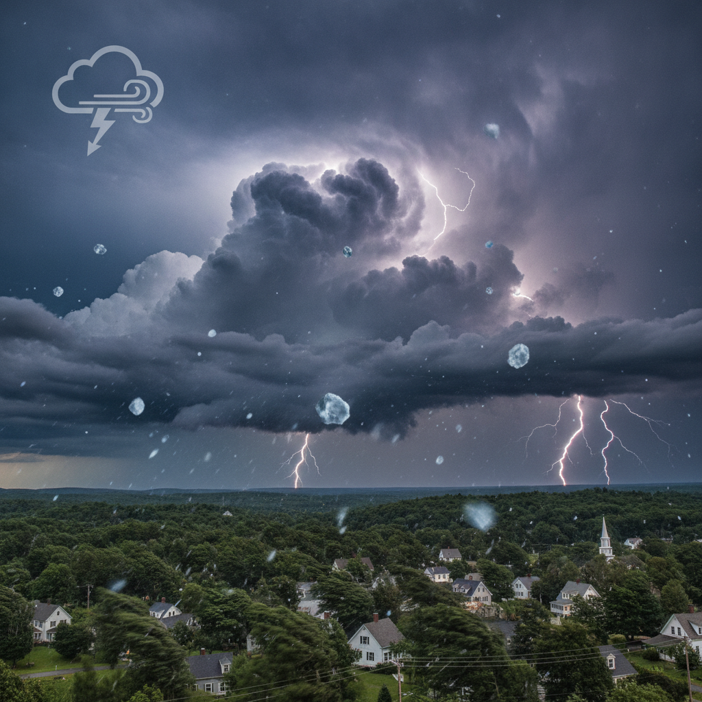
The National Weather Service and state emergency officials have issued a Severe Thunderstorm Watch for Bennington and Bennington County, warning residents of damaging winds up to 60 mph, large hail, intense lightning, and potential power outages across the region.

Last updated:
A Severe Thunderstorm Watch has been issued for Bennington and surrounding communities across Bennington County. State emergency management officials advise local residents to review family safety plans, secure outdoor property, and monitor conditions closely as storm systems move into the area.
Severe Thunderstorm Watch Issued for Bennington and
The alert was distributed through the state’s VT-Alert emergency notification system following meteorological guidance issued by the National Weather Service. Under the watch, regional atmospheric conditions are favorable for the rapid formation of strong to severe convective storms that could bring damaging winds, large hail, intense lightning, and torrential rain.
Understanding the Primary Weather Hazards
Forecasters and emergency management personnel have identified several hazards associated with the incoming weather pattern. These storms have the potential to disrupt travel, impact utility lines, and create localized hazards throughout our neighborhoods.
Key risks highlighted by public safety officials include:
- Damaging Winds: Thunderstorm wind gusts are projected to reach or exceed 58 to 60 mph. Winds of this strength can snap large tree limbs, bring down electrical utility wires, and cause structural damage to roofs and home siding.
- Large Hail: Convective storm cells may produce hail measuring 1 inch in diameter or larger, roughly the size of a quarter. Hail of this size poses a risk to vehicles, outdoor equipment, and home gardens.
- Heavy Downpours and Frequent Lightning: Torrential rainfall can lead to rapid water accumulation and ponding on roadways, raising the danger of hydroplaning for evening commuters. Cloud-to-ground lightning also presents an immediate hazard for anyone caught outdoors.
- Isolated Tornado Threat: While straight-line winds and hail remain the primary concerns, meteorologists note that an isolated spin-up along intense storm lines cannot be completely ruled out.
Watch Versus Warning: What You Need to Know
Public safety officials emphasize that understanding the operational difference between a weather watch and a weather warning is vital for staying safe.
A Severe Thunderstorm Watch means that atmospheric ingredients, such as moisture, instability, and wind shear, are in place for severe weather to develop across the designated area. It serves as an advance notice for households and local business owners to remain vigilant, monitor radar trends, and prepare to act quickly if conditions deteriorate.
In contrast, a Severe Thunderstorm Warning is triggered when severe conditions have been detected by Doppler radar or verified on the ground by trained spotters. A warning indicates that severe winds or large hail are actively occurring or imminent, requiring immediate protective action.
Why it matters here
In southern Vermont, severe summer weather events can rapidly disrupt everyday routines and municipal operations. The region’s dense tree canopy and rolling topography mean that high wind gusts frequently bring down limbs onto power lines, leading to isolated electrical outages across Bennington County.
Downed trees and rapid water runoff can also block municipal road networks, complicating travel and delaying emergency response. When local residents take proactive steps to secure loose property and prepare backup power options, it reduces unnecessary hazards and eases the strain on local first responders and utility line crews during peak storm windows.
Steps to Prepare and Stay Safe
Vermont Emergency Management recommends several practical precautions while the watch remains active across our region:
- Secure Outdoor Property: Fasten or store patio furniture, trash bins, grills, and loose garden tools, which can quickly become dangerous projectiles in high winds.
- Charge Necessary Devices: Make sure mobile phones, portable battery banks, and flashlights are fully charged in anticipation of possible power outages.
- Monitor Reliable Alert Channels: Keep a battery-operated National Oceanic and Atmospheric Administration (NOAA) Weather Radio nearby, or verify that notifications are enabled on your mobile device through the VT-Alert platform.
- Identify a Safe Shelter: If a warning is issued for your immediate area, move inside a sturdy building. Choose an interior room on the lowest floor, staying clear of windows, skylights, and glass exterior doors. Avoid parking vehicles directly beneath large trees.
Background and Regional Emergency Coordination
The VT-Alert platform, administered by Vermont Emergency Management, is the state’s central notification system for severe weather hazards, infrastructure emergencies, and public safety updates. Coordinated guidance between regional National Weather Service forecast offices and state emergency personnel ensures that local jurisdictions receive timely situational awareness as storm fronts advance.
Residents across Bennington County are encouraged to keep alert channels open through the evening and follow all updates from local emergency management personnel.
Sources
This article was produced with the assistance of AI and reviewed by our editorial team.
Related: Bennington 250 Announces ‘250 for 250’ Year-End Gala to Support Anniversary Celebrations
Related: How Towns Use Controlled Burns to Prevent Wildfires
Related: NewsWK App now available for Iphone and Android Users
Related: Bennington Battle Day Marked as Historic Monument Awaits Repairs
Related: The Origins and History Behind the Bennington Triangle
Related: Rising Water Costs Due to Climate Change: What Bennington Residents Need to Know
Related: Changes to Fire Codes in Vermont: What Local Residents Need to Know
Related: Weather
Related: About
Related: Gridlock in Bennington: Bridge Closures, Roundabout Overhauls, and Sewer Repairs Stall Commuters
Related: Pacific Northwest Fires Strain National Wildfire Resources
Related: New Paramedic and EMT Join Regional Emergency Response Ranks
See a typo? Report it here.