Weather
Mild Weekend Ahead for Bennington County with Overcast Saturday and Moderate Rain Arriving Sunday
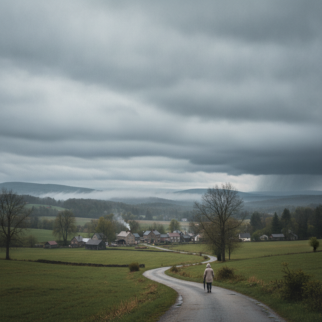
Bennington County residents can expect a mild weekend weather pattern starting with dry, overcast skies Saturday. Moderate rain arrives Sunday with temperatures near 60 degrees, followed by cooler, breezy conditions and lingering light showers on Monday.


Last updated:
Mild Start to the Weekend Before Rain Moves into Bennington County Bennington County weekend weather
Good morning to residents, commuters, and visitors across Bennington, Old Bennington, North Bennington, Shaftsbury, Pownal, Woodford, and Arlington. We are starting out with clear skies and a current temperature of 37.2°F. Winds are light and calm at just 2.5 mph, making for a quiet and crisp start across the Bennington Valley. However, our weather pattern will shift as we head through the weekend, bringing overcast conditions today followed by a round of moderate rain on Sunday and lingering showers on Monday.
There are currently no official weather alerts, watches, or warnings in effect for Bennington County. Even so, travelers and outdoor enthusiasts should prepare for wet roadway conditions and changing mountain weather as a precipitation-bearing system moves through the Green Mountains over the coming days.
Saturday: Cloud Cover Increases, Mild Temperatures
For Saturday, November 21, expect overcast skies across southwestern Vermont, though conditions will remain completely dry throughout the day. Temperatures will be unseasonably mild for late November, reaching a comfortable high of 57.2°F. Overnight lows will dip down to 35.5°F under continued cloud cover.
With a 0 percent probability of precipitation and 0 inches of rainfall in the forecast, Saturday will offer the best window for outdoor tasks and weekend recreation. Maximum wind speeds will remain gentle, peaking at around 9.3 mph. If you are planning a walk around Lake Paran in North Bennington, a stroll through historical Old Bennington, or a hike on the lower trails around Mount Anthony, conditions will be agreeable as long as you bring an extra layer for the overcast afternoon.
Drivers along US-7, the VT-279 bypass, and VT-9 (the Molly Stark Trail) will enjoy dry pavement and good visibility throughout Saturday. It is an ideal day to clear fallen leaves from storm drains and rain gutters before damp weather arrives on Sunday.
Sunday: Moderate Rain Arrives Across the Valley
Rain returns to southwestern Vermont on Sunday, November 22. Temperatures will remain mild for this time of year, topping out at a high of 59.7°F, while overnight temperatures will drop to a moderate 44.9°F. We are looking at an 86 percent chance of precipitation, with total rainfall amounts forecasted at approximately 0.27 inches. Moderate rain is expected to impact much of the region throughout the day.
Wind speeds on Sunday will stay light to moderate, reaching a maximum of 8.4 mph. While strong winds are not expected, wet weather will affect outdoor plans and travel. Commuters driving along US-7 between Pownal and Arlington, or those heading east over the Molly Stark Trail toward Woodford, should anticipate slick road surfaces. Late-autumn leaf litter combined with moderate rain can create slick driving conditions, so build in a little extra braking distance and turn on your headlights during periods of steady rain.
Monday: Cooler Temps, Light Rain, and Breezy Ridges
As we start the new workweek on Monday, November 23, temperatures will begin to cool down. The forecasted high for Monday is 53.3°F, with overnight lows dropping close to the freezing mark at 34.5°F. Rain remains likely, with precipitation probability holding at 86 percent, though rain totals will be lighter at around 0.046 inches of moderate rain.
The main weather change on Monday will be an increase in wind. Maximum wind speeds will reach 14.7 mph across the area. Higher terrain, such as the ridges of Mount Anthony and the higher elevations of the Green Mountain National Forest in Woodford, will experience breezy conditions. As temperatures drop toward 34.5°F on Monday night, stay aware of potential damp spots on high-elevation roads like VT-9 that could become slick as nighttime temperatures drop.
Community Care and Outdoor Safety
Although daytime temperatures remain above freezing, late November in Vermont always demands extra care. Rain and damp air can chill pets quickly, so make sure outdoor animals have dry, insulated shelter. It is also a good time to check in on elderly neighbors in our rural towns from Shaftsbury to Pownal to ensure their heating systems are running smoothly ahead of future winter cold snap weather.
Hikers venturing into the Green Mountain National Forest over the next few days should dress in synthetic layers rather than cotton to stay warm when wet, and ensure they pack reliable waterproof outerwear if heading out on Sunday or Monday.
The Bottom Line
Saturday is your best day for dry outdoor activities across Bennington County, featuring overcast skies, a 0 percent chance of rain, and a mild high of 57.2°F. Moderate rain arrives Sunday with 0.27 inches expected, an 86 percent chance of rain, and a high near 59.7°F. Rain lingers into Monday with lighter totals of 0.046 inches, cooler highs of 53.3°F, overnight lows of 34.5°F, and wind gusts up to 14.7 mph. Drive safely on wet roads and enjoy the mild weekend!
Weather data provided by Open-Meteo.
Related: Bennington County Weekend Forecast: Overcast Skies Give Way to Light Rain and Cooler Temperatures
Related: Humid Stretch with Moderate Rain and Monday Thunderstorms Across Bennington County
Related: Bennington County Weather: Drizzle Today Ahead of Overcast Skies and a Cool Weekend Drop
Related: Mild August Conditions Give Way to Midweek Rain Across Bennington County
Related: Bennington Weather: Dense Drizzle Today Ahead of a Dry Saturday and Rainy Sunday