Weather
Moderate Rain Today Followed by Chilly Drizzle and Freezing Nights in Bennington County
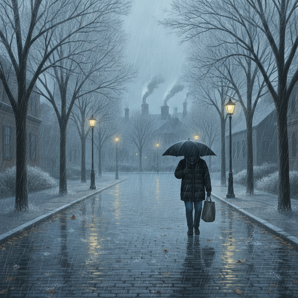
Bennington County faces moderate rain today with totals reaching over half an inch, impacting local travel along US-7 and VT-9. Temperatures will steadily drop heading into the weekend, bringing drizzle and freezing overnight lows down to 28 degrees.


Last updated:
BENNINGTON, VT — Overcast skies cover the Bennington Valley this morning with a current temperature of 40.2°F and a gentle breeze of 2.6 mph. Residents across Bennington County, including Old Bennington, North Bennington, Shaftsbury, Pownal, Woodford, and Arlington, should keep their rain gear close at hand today. A wet weather system is bringing moderate rain to the area, which will be followed by a steady drop in temperatures through the end of the week, bringing freezing nighttime temperatures into the region.
Today’s Weather Breakdown: Thursday, November 12, 2026 Bennington County VT weather forecast
Rain is the main feature of today’s weather. Forecast models show a 95% probability of precipitation, delivering moderate rain across southwestern Vermont. Total rainfall accumulation is expected to reach 0.675 inches by the end of the day. Afternoon temperatures will peak at a high of 44.3°F, providing a relatively mild but damp atmosphere. Tonight, temperatures will drop to a low of 38.1°F under continued wet conditions. Peak wind speeds today will remain light to moderate, maxing out at 8.1 mph.
For morning and evening commuters traveling along major corridors such as US-7 through Shaftsbury and Pownal, the VT-279 bypass, or taking VT-9 (the Molly Stark Trail) up toward Woodford, driver caution is advised. With over a half-inch of rain expected (0.675 inches), water pooling on roadways, spray from trucks, and localized slick surfaces will require extra travel time and lower driving speeds.
Friday Outlook: Friday, November 13, 2026
On Friday, the steady rainfall transitions into light drizzle. The chance of precipitation remains high at 83%, though total rainfall amounts will taper off significantly to just 0.016 inches. Daytime high temperatures will reach only 38.1°F, matching Thursday night’s low and marking the start of a colder air pattern settling over the Green Mountains. Maximum wind speeds will increase slightly on Friday, reaching up to 10.5 mph.
The most important detail for Friday comes overnight, as the temperature is expected to drop below freezing to a low of 31.9°F. As temperatures drop past the 32°F mark, any standing moisture or drizzle left on unheated surfaces, elevated bridges, and shaded mountain passes could potentially turn into patchy ice or slick spots by early Saturday morning.
Weekend Outlook: Saturday, November 14, 2026
Drier air gradually moves into the valley on Saturday, though overcast and cool conditions remain. The probability of light drizzle drops to 20%, with additional precipitation totals estimated at a minimal 0.012 inches. High temperatures on Saturday will remain chilly, reaching a maximum of 36.9°F with maximum wind speeds around 8.6 mph.
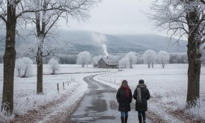
Saturday night will bring the coldest temperatures of the forecast period. Skies will remain quiet as the overnight low drops down to 28.5°F. This freeze will firmly set in across both the valley floor and higher elevations, so residents should be prepared for frosty morning starts.
Mountain Conditions, Safety, and Community Care
With temperatures holding in the 30s and 40s accompanied by rain and drizzle, outdoor recreation requires proper planning. Those hiking around Mount Anthony, exploring trails in the Green Mountain National Forest, or taking a walk around Lake Paran should wear waterproof outer layers and synthetic base layers to prevent chill and hypothermia in damp conditions.
- Commuter Impact: Watch for heavy surface water on US-7, VT-9, and VT-279 today during moderate rain (0.675 inches). Prepare for freezing surface conditions late Friday night into Saturday morning as lows hit 31.9°F and 28.5°F.
- Home Preparation: With overnight lows dropping to 31.9°F on Friday and 28.5°F on Saturday, ensure outdoor hoses are disconnected and exposed outdoor spigots are secured against freezing.
- Community Safety: Check in on elderly neighbors and vulnerable community members as freezing night temperatures arrive. Make sure outdoor pets have warm, dry shelter or are brought indoors overnight.
The Bottom Line
Expect a wet Thursday with moderate rain (0.675 inches), a high of 44.3°F, and a low of 38.1°F. Friday stays chilly and damp with light drizzle (0.016 inches), a high of 38.1°F, and a low dropping below freezing to 31.9°F. Saturday turns drier with a 20% drizzle chance, a high of 36.9°F, and a cold low of 28.5°F. Keep the umbrella handy today and bundle up for freezing nights ahead.
Weather data provided by Open-Meteo.
Related: Damp Late-August Stretch Brings Rain, Drizzle, and Cooler Temperatures to Bennington County
Related: Bennington County Weather: Comfortable Late-Summer Days Ahead with Rain Chances by Midweek
Related: Warm, Cloudier Pattern Sets In for Bennington County Before Weekend Drizzle and Cooler Air
Related: Bennington Weather: Dense Drizzle Today Ahead of a Dry Saturday and Rainy Sunday
Related: Border County Tax Pressures Mount as New York Shifts SNAP Costs