Weather
Bennington County Weather: Rain Showers Make Way for Dense Fog and a Sharply Cooler Autumn Weekend
Bennington County faces changing weather this week, starting with light rain and warm temperatures before dense valley fog develops Friday. A sharp cool-down arrives by Saturday night, dropping low temperatures into the upper 30s across southwestern Vermont.

Last updated:
Good morning, Bennington County. Clear skies and a calm, mild 61.2 degrees greeted early risers across the valley this morning, with winds barely stirring at 2.2 mph. But changes are underway across southwestern Vermont as we move deeper into mid-September. The upcoming three-day stretch brings a taste of late-summer warmth, followed by damp road conditions, developing fog, and eventually a brisk, autumn chill by Saturday night.
Bennington County Weather Forecast: Warm Temperatures with Passing Showers Today
For Thursday, September 17, expect conditions to transition from current clear skies to scattered dampness as a system delivers slight rain across the region. High temperatures will reach an unseasonably warm 76.2 degrees, while the overnight low settles at a comfortable 60.8 degrees. Precipitation chance stands at 62 percent, with expected rainfall totals around 0.12 inches. Winds remain relatively light, topping out at a maximum speed of 5.8 mph.
Travel Conditions in the Bennington County Weather Forecast
While rain totals will be light, that tenth of an inch of moisture is enough to make highway surfaces slick after periods of dry weather. Commuters navigating standard routes—whether traveling along US-7 between Pownal, Bennington, and Shaftsbury, using the Bennington Bypass on VT-279, or climbing eastward on VT-9 (the Molly Stark Trail) toward Woodford—should anticipate damp pavement, intermittent windshield wiper action, and reduced traction on steeper grades during the showers.
Friday: Shifting Air, Developing Fog, and Moderate Breezes
Heading into Friday, September 18, conditions begin to cool down as moisture lingers in the river valleys. The forecast calls for fog across the area, with daytime high temperatures topping out at 69.7 degrees. As evening approaches, temperatures will retreat toward an overnight low of 54.6 degrees. Measurable rainfall is not expected, showing 0 inches with only an 11 percent probability of precipitation. However, winds will be the briskest of the period, reaching maximum gusts up to 11.9 mph.
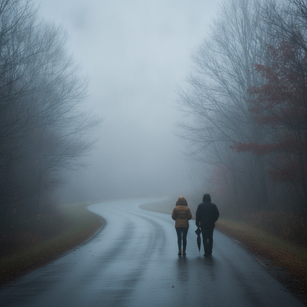
That combination of moisture and cooling air will create areas of valley fog that could significantly impact both the morning and evening commutes. Drivers along the low-lying stretches near the Walloomsac River in North Bennington, around Lake Paran, and along VT-7A through Arlington should prepare for localized pockets of poor visibility. High-elevation corridors, especially the climb along VT-9 heading past Woodford into the Green Mountains, can experience rapid visibility drops as clouds intersect mountain terrain.
Saturday: Overcast Skies and a Significant Mountain Cool-Down
The weekend begins on Saturday, September 19, under persistent overcast skies. High temperatures will struggle to climb beyond 61.6 degrees during the afternoon hours, feeling noticeably crisper than earlier in the week. Rain chances fall to a minimal 5 percent with 0 inches of precipitation expected, and maximum winds will ease back down to 5.4 mph.
The headline story for Saturday night into Sunday morning is the impending drop in temperature. The mercury is forecast to plunge to an overnight low of 39.4 degrees across the valley. For high-elevation towns such as Woodford, as well as the ridges along the Long Trail and the Green Mountain National Forest, temperatures could dip even lower. If you have tender garden plants, outdoor containers, or late-season harvest vegetables that are sensitive to temperatures plunging into the upper 30s, Saturday evening will be the time to bring them indoors or cover them up.
Recreation and Outdoor Impacts
Late summer and early autumn recreation around Bennington County will need minor adjustments depending on the day:
- Hiking Mount Anthony and the Green Mountain National Forest: Thursday’s 76.2-degree high offers comfortable hiking, though rocks and roots will become slick during afternoon rain showers. By Saturday, hikers should pack extra layers, as the combination of overcast skies, a 61.6-degree high, and falling evening temperatures down toward 39.4 degrees will bring brisk conditions at elevation.
- Water Recreation at Lake Paran: Calm winds today at 2.2 mph provide smooth water, but Friday’s winds rising to 11.9 mph alongside foggy conditions may make paddling less ideal.
- Foliage Spotting and Scenic Drives: As overnight temperatures cool down dramatically into the upper 30s this weekend, the regional canopy across the Green Mountains will receive another strong signal toward peak autumn color transformation.
Vulnerable Neighbors and Pets
With nighttime temperatures dropping from a mild 60.8 degrees tonight down to a crisp 39.4 degrees by Saturday night, domestic routines will need to shift. Ensure outdoor pets have warm shelter or are brought inside over the weekend. While 39.4 degrees is not a hard freeze, it is the coldest reading of the forecast period and represents a brisk shock after days with highs in the 70s. It is also a thoughtful time to check in on elderly neighbors in older homes to ensure their heating systems are ready for the approaching cold nights.
The Bottom Line
Keep the rain jacket and umbrellas handy today with a 62 percent chance of slight rain, 0.12 inches of accumulation, and a mild high of 76.2 degrees. Slow down for valley and mountain fog on Friday with a high of 69.7 degrees and breezes to 11.9 mph. Plan for sweater weather on Saturday, as overcast skies hold daytime highs to 61.6 degrees before nightfall delivers our first true late-September chill at 39.4 degrees.
Weather data provided by Open-Meteo.
Related: Damp Late-August Stretch Brings Rain, Drizzle, and Cooler Temperatures to Bennington County
Related: Border County Tax Pressures Mount as New York Shifts SNAP Costs
Related: Warm, Cloudier Pattern Sets In for Bennington County Before Weekend Drizzle and Cooler Air
Related: Bennington County Weather: Comfortable Late-Summer Days Ahead with Rain Chances by Midweek
Related: Bennington 250 Announces ‘250 for 250’ Year-End Gala to Support Anniversary Celebrations
Related: Bennington Battle Day Marked as Historic Monument Awaits Repairs
See a typo? Report it here.