Weather
Bennington Forecast: Mild, Overcast Finish to August Ahead of Heavy Tuesday Rain
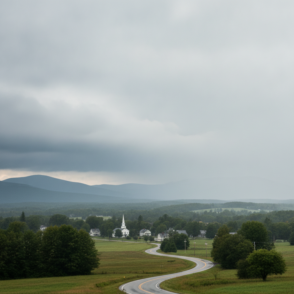
Bennington County wraps up August with mild, overcast conditions and highs in the low 70s on Sunday and Monday. A significant shift arrives Tuesday with heavy rain, bringing nearly an inch of precipitation and slick local roads.

Last updated:
Current Valley Conditions and Outlook
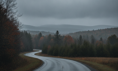
Good morning, Bennington County. We are starting off under overcast skies with a current temperature of 59.4 degrees and a gentle breeze blowing at 7.4 mph. As we look at the transition from late August into early September, our weather pattern across southwestern Vermont is poised for a quiet, cloud-filled couple of days before a much wetter system arrives in our valley and surrounding mountains.
There are currently no active weather watches, warnings, or advisories in place for our area. While conditions will remain calm and dry through the remainder of the weekend and into the start of the workweek, residents should prepare for significant moisture arriving by Tuesday.
Day-by-Day Forecast Breakdown
Sunday, August 30: Quiet and Overcast
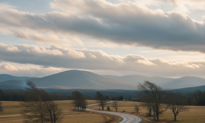
For today, expect extensive cloud cover across Bennington, Old Bennington, North Bennington, and Pownal. The afternoon high temperature will reach a comfortable 73.5 degrees, while overnight lows will settle down to around 57.3 degrees. Winds will remain light throughout the day, topping out with a maximum speed of 7.6 mph. The probability of precipitation sits at a low 25 percent, with 0 inches of measurable rainfall projected, making it a reliable day for running errands or spending quiet time outside despite the lack of direct sunshine.
Monday, August 31: Mild with Persistent Cloud Cover
We close out the month of August on Monday with very similar atmospheric conditions. Overcast skies will continue to blanket the valley from Shaftsbury to Arlington. The daytime high will once again top out at 73.6 degrees, followed by a mild overnight low of 59.0 degrees. Winds will remain gentle, peaking at only 6.7 mph. There is a slight 30 percent chance of a stray sprinkle or shower, but the forecast calls for 0 inches of accumulated precipitation. It will be another calm, comfortable late-summer day across southwestern Vermont.
Tuesday, September 1: Heavy Rain Arrives
A distinct shift in our weather pattern arrives with the start of September on Tuesday. Overcast skies give way to heavy rain across Bennington County. The high temperature is expected to reach 73.8 degrees, with a noticeably milder low of 63.4 degrees. Precipitation probabilities jump to 71 percent, with a forecasted rainfall accumulation of 0.86 inches. Maximum wind speeds will tick upward slightly to 8.3 mph. This will be a wet day from start to finish, delivering substantial late-summer rainfall to local soils, gardens, and roadways.
Travel and Commuting Impacts
For drivers traveling along local corridors, travel conditions will be divided between the dry start to the week and a much wetter Tuesday commute:
- US Route 7 and VT-279: Sunday and Monday will offer smooth traveling from Pownal through Bennington and north into Shaftsbury and Arlington, with dry pavement and light winds under 8 mph. On Tuesday, however, 0.86 inches of heavy rain will reduce visibility and create standing water or slick conditions during both the morning and evening drives.
- VT Route 9 (Molly Stark Trail): As you climb east toward Woodford and the Green Mountain pass, overcast skies could produce localized low cloud bases and reduced visibility Sunday and Monday. When the 71 percent chance of heavy rain arrives on Tuesday, take extra care on winding downhill stretches and maintain plenty of following distance behind other motorists.
Mountain Recreation and Outdoor Planning
If your plans involve outdoor recreation around Mount Anthony, walking the trails near Lake Paran, or venturing into the Green Mountain National Forest, Sunday and Monday are by far your best windows. High temperatures in the low-to-mid 70s (73.5 degrees on Sunday and 73.6 degrees on Monday) paired with light winds under 8 mph will make for pleasant trail conditions, even under gray skies.
Tuesday is not recommended for high-elevation hiking or prolonged outdoor exposure, as heavy rainfall amounting to 0.86 inches will make rocks and trails slippery, swell small mountain brooks, and lead to poor trail visibility. Keep outdoor activities indoors or plan around water-resistant activities for the start of September.
Home and Community Tips
With 0.86 inches of rain expected on Tuesday, Monday afternoon is a great time to check gutters, downspouts, and culverts around your property to make sure they are clear of leaves and debris. Take a moment to check in on elderly neighbors or vulnerable community members to ensure they are prepared for wet travel on Tuesday, and make sure pets have dry, sheltered areas when heavy rain moves through.
The Bottom Line
Enjoy the mild, comfortable temperatures in the low 70s and calm winds under overcast skies through Monday. Keep the rain gear handy and prepare for wet commutes on Tuesday as heavy rain brings up to 0.86 inches of precipitation to Bennington County.
Weather data provided by Open-Meteo.
Related: Damp Late-August Stretch Brings Rain, Drizzle, and Cooler Temperatures to Bennington County
See a typo? Report it here.