Weather
Chilly, Overcast Conditions Hold Firm Across Bennington County with Freezing Nights Ahead
Bennington County faces persistent overcast skies and chilly late-autumn weather this week. High temperatures will range from the upper 30s to mid-40s, while freezing overnight lows dropping into the upper 20s bring a firm freeze across southwestern Vermont.


Last updated:
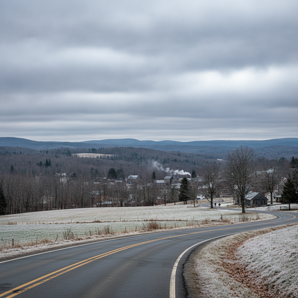
A quiet but thoroughly chilly late-autumn weather pattern has settled over southwestern Vermont, bringing persistent overcast skies and temperatures hovering near and below the freezing mark. As we navigate mid-November, residents throughout the Bennington Valley, from Old Bennington to North Bennington, Shaftsbury, Pownal, Woodford, and Arlington, can expect grey cloud cover to remain locked in place alongside light winds and dry conditions over the next several days.
Current Weather Conditions in Bennington Bennington VT weather forecast
As of late morning, conditions across Bennington report an overcast sky with an air temperature standing at 34.1°F. A gentle breeze out of the area is currently blowing at 5 mph, keeping wind chill values quite close to the actual air temperature. With relative humidity remaining high under the heavy cloud ceiling, it feels like a classic, crisp November day across the valley floor and surrounding hill towns.
Today’s Detailed Forecast: Sunday, November 15, 2026
For today, Sunday, November 15, expected weather will remain consistently overcast from dawn through dusk. High temperatures are forecasted to peak at 40.8°F during the afternoon hours, offering a modest warm-up from our current 34.1°F reading. Peak wind speeds today will reach up to 11.4 mph, creating a cool, noticeable breeze along open corridors and higher ridge lines.
Precipitation probability for today is capped at a minimal 7%, with expected total precipitation measuring 0 inches. While rain or snow is not anticipated, the low cloud deck will keep sunlight to a minimum. Tonight, temperatures will drop to a low of 33.5°F under continued overcast skies. Because temperatures tonight will linger just above the freezing threshold at 33.5°F, moisture on shady spots or higher elevated roads could present minor localized dampness, though dry conditions generally prevail.
Looking Ahead: Monday, November 16, 2026
Heading into the start of the workweek on Monday, November 16, overcast skies will continue to blanket Bennington County. Temperatures will be slightly cooler than Sunday, with an afternoon high reaching 39.5°F. Maximum wind speeds will decrease slightly compared to today, topping out around 9.7 mph.
Weather conditions will remain dry throughout Monday, with total precipitation remaining at 0 inches and the probability of precipitation dropping down to just 2%. However, the main story for Monday comes overnight. As evening turns to night, the low temperature is expected to sink below freezing to 31.0°F. This freeze marks a transition to colder nights that residents should prepare for by securing outdoor water hoses and ensuring heating systems are operating smoothly.
Extended Outlook: Tuesday, November 17, 2026
Tuesday, November 17 will bring the warmest daytime reading of the three-day period alongside the coldest night. The high temperature on Tuesday is forecasted to reach 45.8°F under persistent overcast skies. Winds will be very light, with maximum wind speeds reaching only 6.2 mph, making for a calm afternoon across the valley.
Precipitation chances on Tuesday drop to 0%, with 0 inches of accumulation expected. Despite the milder daytime high of 45.8°F, sharp radiative cooling beneath the cloud layer overnight will drive temperatures down to a chilly low of 29.1°F. This sub-freezing drop into the upper 20s will bring a firm freeze across the region, affecting low-lying valleys and mountain towns alike.
Commute, Mountain, and Community Impacts
While no weather alerts, watches, or warnings are currently active for Bennington County, the forecast still warrants practical preparations for daily life in southwestern Vermont:
- Commuter Routes: Drivers traveling along US-7, VT-279, and the Molly Stark Trail (VT-9) over to Woodford should encounter dry pavement given the zero precipitation forecast. However, as overnight temperatures drop to 31.0°F on Monday night and 29.1°F on Tuesday night, early morning travelers should remain watchful for patchy frost or localized slick spots on bridges and overpasses where ambient moisture may settle.
- Outdoor Recreation: Those planning hikes around Mount Anthony, trips to Lake Paran, or excursions into the Green Mountain National Forest will experience dry but cool conditions. With highs in the upper 30s to mid-40s (40.8°F today, 39.5°F Monday, and 45.8°F Tuesday), wearing layered clothing and wind-resistant outer gear is recommended, particularly as peak winds reach 11.4 mph today and 9.7 mph on Monday.
- Home & Neighborhood Care: With overnight lows dropping into the upper 20s (29.1°F by Tuesday night), remember to bring outdoor pets inside during the cold evenings. It is also a great time to check in on elderly neighbors or vulnerable community members to ensure their homes remain warm and comfortable as winter approaches.
The Bottom Line
Expect a dry, calm, but overcast three-day stretch across Bennington County. Daytime highs will ranger between 39.5°F and 45.8°F, while nighttime lows will fall from 33.5°F tonight down to sub-freezing levels of 31.0°F on Monday night and 29.1°F on Tuesday night. Keep the heavy coats handy, double-check outdoor winterization, and enjoy a tranquil mid-November week in the Green Mountains.
Weather data provided by Open-Meteo.
Related: Damp Late-August Stretch Brings Rain, Drizzle, and Cooler Temperatures to Bennington County
Related: Warm, Cloudier Pattern Sets In for Bennington County Before Weekend Drizzle and Cooler Air
Related: Bennington County Weather: Comfortable Late-Summer Days Ahead with Rain Chances by Midweek
Related: Border County Tax Pressures Mount as New York Shifts SNAP Costs
Related: Bennington 250 Announces ‘250 for 250’ Year-End Gala to Support Anniversary Celebrations