Weather
Crisp Autumn Air Settles Over Bennington County as Overcast Skies and a Midweek Freeze Approach
Bennington County is preparing for a shift to overcast skies and cooler temperatures, culminating in a sharp midweek freeze. Temperatures are expected to drop to 30.1°F on Tuesday night, bringing the first frost of the season to the region.

About Bennington County weather forecast
Last updated:
Good morning, Bennington County! We are starting our day with beautiful, clear skies and a crisp current temperature of 46.2°F, accompanied by a gentle breeze of 5.4 mph. It is a classic, refreshing start to a southwestern Vermont October day. However, changes are on the horizon. As we head into the first week of October, we will transition from these clear skies to a stretch of overcast days, culminating in a significant midweek temperature drop that will bring our first real taste of sub-freezing weather to the Bennington Valley and surrounding mountain communities.
Sunday, October 4: Overcast Skies but Mild Temperatures
For Sunday, October 4, we can expect skies to cloud over, bringing overcast conditions for the day. Despite the cloud cover, it will be the warmest day of the upcoming stretch, with a comfortable daytime high reaching 61.9°F. This is excellent weather for taking in the fall foliage around Old Bennington, North Bennington, and Shaftsbury, even if the autumn colors are displayed under a gray canopy. The wind will remain light, peaking at about 10.6 mph, making it a very pleasant day for a walk around Lake Paran or a hike up Mount Anthony. As night falls, the temperature will drop to a low of 44.2°F. There is virtually no chance of rain, with the precipitation probability sitting at a mere 2%, so you can comfortably leave the umbrellas at home.
Monday, October 5: Brisk Winds and Cooler Air
On Monday, October 5, the overcast pattern continues, and we will begin to feel a more pronounced autumn chill. The high temperature will top out at a cooler 56.7°F. Commuters heading out on US-7, VT-279, or navigating the winding turns of VT-9 (the Molly Stark Trail) should prepare for breezier conditions. Winds are expected to pick up, with a maximum wind speed of 18.8 mph. In higher-elevation communities like Woodford, these winds will feel particularly brisk, making it feel notably colder than the thermometer suggests. If you are planning to hike in the Green Mountain National Forest or work outdoors, an extra wind-resistant layer will be essential. Monday night will see a low of 44.8°F, with a slight 12% chance of precipitation, though dry conditions are expected to prevail.
Tuesday, October 6: A Sharp Midweek Freeze
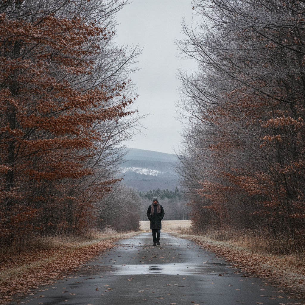
Tuesday, October 6, brings the most dramatic shift in our weather pattern. While the daytime will remain overcast with a high of 54.4°F and maximum winds of 14.0 mph, the real story unfolds after sunset. Temperatures are set to plummet to a freezing low of 30.1°F. This sharp drop marks our first significant freeze of the season for the Bennington Valley, including Pownal, Arlington, and North Bennington.
Seasonal Impacts and Safety Reminders
With temperatures dropping to 30.1°F on Tuesday night, local residents should take immediate action to prepare for freezing conditions:
- Protect Plants: This is the time to harvest any remaining cold-sensitive crops or cover your late-season plants in Shaftsbury and Arlington.
- Care for Pets: Pet owners must ensure that outdoor animals have warm, dry shelter or are brought indoors as the freezing air settles over southwestern Vermont.
- Check on Neighbors: It is a wonderful time to check in on elderly neighbors to ensure their heating systems are ready for the cold night ahead.
- Road Safety: While the precipitation probability is extremely low at just 1%, any lingering moisture on the roads—especially on elevated surfaces and bridges along VT-9 through Woodford—could pose a minor risk of frost or black ice early Wednesday morning. Drive with extra caution during your morning commute.
The Bottom Line for Your Week
Enjoy the mild 61.9°F high on Sunday despite the overcast skies. Prepare for windier, cooler conditions on Monday, and make sure your home, plants, and pets are ready for a sub-freezing drop to 30.1°F on Tuesday night. Stay warm, drive safely over the mountain passes, and enjoy the beautiful autumn season in the Shires of Vermont!
Weather data provided by Open-Meteo.
Related: Damp Late-August Stretch Brings Rain, Drizzle, and Cooler Temperatures to Bennington County
Related: Border County Tax Pressures Mount as New York Shifts SNAP Costs
Related: Warm, Cloudier Pattern Sets In for Bennington County Before Weekend Drizzle and Cooler Air
Related: Bennington County Weather: Comfortable Late-Summer Days Ahead with Rain Chances by Midweek
Related: Bennington 250 Announces ‘250 for 250’ Year-End Gala to Support Anniversary Celebrations
Related: Bennington Battle Day Marked as Historic Monument Awaits Repairs
See a typo? Report it here.