Weather
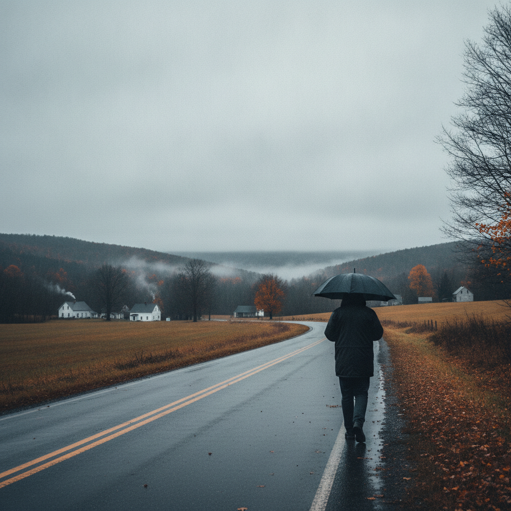
Autumn Chill and Overcast Skies Give Way to Weekend Drizzle in Bennington County
Bennington County will experience a transition from crisp, overcast autumn weather on Thursday and Friday to a damp, drizzly weekend. Temperatures will peak in the upper 60s before a soaking drizzle arrives Saturday, bringing cooler, raw conditions.

Last updated:
Good morning, Bennington County! We are waking up to beautiful, crisp autumn conditions across southwestern Vermont. Currently, skies are clear and the temperature stands at a cool 47.4 degrees, with a very gentle breeze of just 1.5 miles per hour. It is a classic late-September morning, perfect for grab-and-go jackets as you head out the door. Whether you are commuting from Arlington, Shaftsbury, or Pownal, or starting your day right here in the Bennington Valley, you can expect a dry but increasingly cloudy transition over the next couple of days before damp weather arrives for the weekend.
Bennington County Weather Forecast: Thursday, September 24
As we move through Thursday, September 24, those clear morning skies will give way to overcast conditions. Despite the cloud cover, we are looking at a very comfortable afternoon high of 65.1 degrees. It is an ideal temperature for enjoying the early stages of autumn foliage, though the gray skies might make the red and gold leaves look a bit more muted today. Winds will remain light, peaking around 7.8 miles per hour, so there will not be much of a breeze to shake those leaves loose just yet.
If you are planning an afternoon hike up Mount Anthony or a stroll around Lake Paran in North Bennington, today is a great day to do so, provided you do not mind the overcast canopy. However, you will want to make sure your heating systems are ready and your pets are cozy tonight. Temperatures are set to drop significantly after sunset, bottoming out at a chilly low of 36.9 degrees. In higher-elevation communities like Woodford along Route 9 (the Molly Stark Trail), it will feel even colder, so please take precautions to protect sensitive outdoor plants and ensure outdoor animals have warm shelter.
Friday, September 25: Slightly Warmer but Still Gray
On Friday, September 25, we will see a slight bump in our afternoon temperatures, with a high reaching 69.1 degrees. The overcast skies will persist throughout the day, and we will start to feel a bit more of a breeze as maximum wind speeds reach 12.1 miles per hour. This increase in wind might bring down some loose leaves, so drivers on winding mountain roads should stay alert for foliage debris on the pavement.
The chance of precipitation remains very low during the day at just 11 percent, meaning you should be able to complete your Friday evening commute along US-7 and VT-279 without needing your windshield wipers. Friday night will also be noticeably milder than Thursday night, with temperatures only dropping to a low of 46.4 degrees. It is an excellent evening to support local high school sports or enjoy outdoor dining in Old Bennington, though a light sweater will still be a must.
Saturday, September 26: Damp and Drizzly Weekend Outlook
The weather takes a damp turn as we head into the weekend. On Saturday, September 26, a weather system brings a 58 percent chance of precipitation to southwestern Vermont. We are expecting a steady, dense drizzle that will likely persist throughout much of the day, accumulating about 0.224 inches of moisture. This will not be a torrential downpour, but it will be a consistent, soaking dampness that will make outdoor recreation challenging.
Weekend Bennington County Weather Forecast and Road Conditions
Temperatures on Saturday will remain in a very tight, cool range. The daytime high will only reach 56.6 degrees, and the overnight low will barely budge, dropping to 50.6 degrees. With maximum winds around 10.8 miles per hour, the combination of dampness and cool air will make it feel quite raw outside. If you must travel along the Molly Stark Trail (VT-9) over the mountain toward Wilmington, or head north on US-7, please use extra caution. Dense drizzle can severely limit visibility and make roads slick, especially when mixed with fallen autumn leaves. Keep your headlights on and leave plenty of stopping distance between you and the vehicle ahead.
Community Care and Seasonal Preparation
With the first true taste of chilly autumn nights arriving this week—especially Thursday’s low of 36.9 degrees—it is a great time to check in on your neighbors, particularly the elderly or vulnerable who may need assistance preparing their homes for the colder months ahead. Ensure that heating vents are clear and smoke detectors are functioning properly. Additionally, keep an eye on your pets; as overnight temperatures dip into the 30s and 40s, domestic animals should be kept indoors to stay safe and warm.
The Bottom Line for Your Planning
To wrap it all up: enjoy a dry, overcast Thursday and Friday with comfortable daytime highs in the mid-to-high 60s, but prepare for a chilly Thursday night. Keep your outdoor weekend plans flexible, as Saturday will bring cool, damp conditions with dense drizzle and a high of only 56.6 degrees. Have a safe and wonderful week here in the beautiful Green Mountains!
Weather data provided by Open-Meteo.
Related: Damp Late-August Stretch Brings Rain, Drizzle, and Cooler Temperatures to Bennington County
Related: Warm, Cloudier Pattern Sets In for Bennington County Before Weekend Drizzle and Cooler Air
Related: Border County Tax Pressures Mount as New York Shifts SNAP Costs
Related: Bennington County Weather: Comfortable Late-Summer Days Ahead with Rain Chances by Midweek
Related: Bennington 250 Announces ‘250 for 250’ Year-End Gala to Support Anniversary Celebrations
Related: Bennington Battle Day Marked as Historic Monument Awaits Repairs
See a typo? Report it here.