Weather
Bennington County Weather Forecast: Heavy Rain and Gusty Winds Set to Impact Region
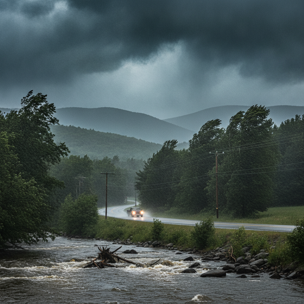
Heavy rain and gusty winds are forecast across Bennington County through Thursday, bringing over two inches of rain and slick travel conditions to Route 7 and Route 9 before drier, cooler air arrives on Friday.

Last updated:
Southwestern Vermont Weather Forecast: Wet Weather Moves In
Residents across Bennington County are waking up to overcast skies and mild conditions as a rainy weather pattern settles over southwestern Vermont. Current readings in Bennington show a temperature of 63.6°F under overcast skies with a gentle breeze of 3.3 mph. However, umbrella weather is taking firm hold as substantial rainfall arrives, bringing soaking precipitation and gusty conditions to the valley and surrounding hills through the middle of the week before tapering off as we head into Friday.
With no active National Weather Service alerts currently issued for the area, the primary focus for travelers, workers, and outdoor enthusiasts will be managing localized surface runoff, wet roadways, and reduced visibility over the next few days.
Detailed Day-by-Day Forecast
Wednesday, September 2: Bennington VT Weather Brings Heavy Rain and Gusty Winds
Wednesday brings the heaviest precipitation of the period. Temperatures will top out at a high of 72.2°F following an overnight low of 62.6°F. Rainfall totals are forecast to reach 1.80 inches, with a precipitation probability of 42%. Peak wind gusts are expected to reach up to 21.2 mph.
The combination of nearly two inches of rain and breezy conditions will make for damp, soggy conditions throughout Old Bennington, North Bennington, Shaftsbury, Pownal, and Arlington. The steady downpours will lead to standing water on untreated surfaces and swollen road ditches across the region.
Thursday, September 3: Moderate Rain Continues
The wet pattern lingers into Thursday, though rainfall will be comparatively lighter. The day features moderate rain with a daytime high climbing to 75.6°F and an overnight low around 62.2°F. Precipitation probability peaks at 60%, with forecast rainfall amounting to 0.45 inches. Winds will remain active, with peak gusts measured up to 21.7 mph.
Thursday will feel muggy and wet as moisture hangs across the Bennington Valley, keeping ground surfaces saturated across residential yards, parks, and agricultural fields.
Friday, September 4: Drying Trend and Cooler Night
A noticeable transition arrives on Friday as the system departs. Conditions improve to just light drizzle, with a low precipitation probability of only 5% and a minimal precipitation accumulation of 0.02 inches. The afternoon will remain warm with a high of 74.9°F, but as drier air filters in and winds ease to a light maximum of 5.8 mph, overnight temperatures will drop significantly to a crisper low of 56.9°F.
Route 7 Bennington Travel Conditions and Commuter Impacts
Travelers commuting across Bennington County should prepare for slower travel times and slick pavement on Wednesday and Thursday:
- Route 7 and VT-279: Watch for ponding water in low-lying lanes, sudden hydroplaning hazards, and heavy spray thrown up by commercial trucks during downpours.
- Route 9 (Molly Stark Trail) toward Woodford: Ascending the mountain pass into higher elevations will bring reduced visibility due to low-hanging cloud cover and heavy rainfall. Wind gusts exceeding 21 mph on Wednesday and Thursday could sway high-profile vehicles along exposed ridges.
- Local Town Roads: Saturated roadside shoulders in rural stretches of Shaftsbury, Pownal, and Arlington may become soft and prone to minor washouts in steep driveways.
Outdoor Recreation and Mountain Safety
Outdoor plans around Mount Anthony, Lake Paran, and the nearby Green Mountain National Forest should be adjusted around the incoming rainfall:
- Trail Conditions: Hiking trails will be slick, muddy, and potentially hazardous on Wednesday and Thursday. Saturated ground combined with wind gusts over 21 mph can weaken tree branches on wooded paths.
- Waterways: Local streams, brooks, and lake shorelines will see rising water levels due to the cumulative 2.25+ inches of rain expected across Wednesday and Thursday. Exercise caution near fast-moving water.
- Improving Outlook: Friday presents much better conditions for getting outdoors as rain chances drop to 5% and winds fall to under 6 mph.
The Bottom Line
Keep the rain gear handy through Thursday as heavy downpours, totals near two inches, and gusts over 21 mph affect southwestern Vermont. Plan extra driving time on major corridors like US-7 and Route 9, keep pets dry, and look forward to clearing conditions by Friday as the rain wraps up with a comfortable high of 74.9°F and a cool night dropping to 56.9°F.
Weather data provided by Open-Meteo.
Related: Warm, Cloudier Pattern Sets In for Bennington County Before Weekend Drizzle and Cooler Air
Related: Damp Late-August Stretch Brings Rain, Drizzle, and Cooler Temperatures to Bennington County
Related: Bennington 250 Announces ‘250 for 250’ Year-End Gala to Support Anniversary Celebrations
Related: Bennington County Weather: Comfortable Late-Summer Days Ahead with Rain Chances by Midweek
Related: Bennington Battle Day Marked as Historic Monument Awaits Repairs
Related: Border County Tax Pressures Mount as New York Shifts SNAP Costs
See a typo? Report it here.