Weather
Bennington County Weather: Soggy Stretch Ahead Across Southwestern Vermont
Bennington County faces a multi-day stretch of persistent rain and drizzle through Thursday. Commuters on Route 7 and VT-9 should prepare for slick roads, reduced visibility, and cumulative rainfall totals exceeding one inch across southwestern Vermont.

Last updated:
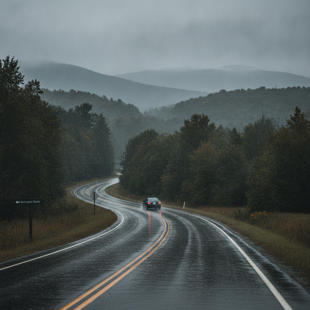
A damp, grey weather pattern has settled over southwestern Vermont, bringing dense drizzle, overcast skies, and multiple rounds of steady precipitation to the Bennington Valley and surrounding Green Mountain hills. Current conditions show dense drizzle with a temperature sitting at 65.8°F and light winds moving at 3.6 mph. Residents across Bennington, Old Bennington, North Bennington, Shaftsbury, Pownal, Woodford, and Arlington should keep umbrellas close at hand, as wet conditions will dominate the forecast over the next three days.
Three-Day Bennington VT Weather Forecast Breakdown
The weather pattern for early September features elevated moisture levels and high precipitation probabilities each day, keeping temperatures mild but persistently wet.
Tuesday, September 1: Vermont Rain Forecast and Moderate Showers
Steady rain will mark the start of the month across Bennington County. Expect moderate rain throughout the day with an 89 percent chance of precipitation. The daytime high is forecast to reach 66.9°F, with overnight low temperatures holding mild at 61.9°F. Total precipitation is expected to measure around 0.59 inches, with maximum wind speeds topping out around 11.2 mph. The consistent rainfall will keep pavements slick and mountain peaks shrouded in low clouds.
Wednesday, September 2: Drizzle Persists with Milder Temperatures
While the heavy precipitation takes a brief pause on Wednesday, damp conditions remain entrenched. The forecast calls for light drizzle with an 86 percent probability of precipitation. Despite the high chance of damp weather, rainfall amounts will be much lighter, totaling approximately 0.03 inches. Temperatures will push slightly higher, reaching a daytime high of 71.7°F before settling to a low of 62.3°F overnight. Peak winds will pick up slightly to 13.5 mph, creating a breezy, humid atmosphere throughout the valley.
Thursday, September 3: Heavy Rain Returns
Another potent wave of moisture moves into the region on Thursday, bringing heavy rain back across southwestern Vermont. The chance of precipitation remains high at 89 percent, with rainfall totals forecast at 0.53 inches. High temperatures will reach 72.4°F, while nighttime temperatures dip to 61.8°F. Winds will peak at around 12.0 mph. Combined with the rain from earlier in the week, ground saturation will increase significantly by Thursday evening.
Commuter and Travel Impacts
With repeated rain and drizzle events, local travel will be affected across major thoroughfares:
- Route 7 and VT-279: Expect reduced visibility and road spray during morning and evening commutes along the US-7 corridor from Pownal up through Shaftsbury and Arlington, as well as along the Bennington Bypass (VT-279).
- VT-9 / Molly Stark Trail: Travel heading east up into Woodford will encounter thick fog, persistent mist, and pooling water on mountain curves. Motorists are urged to slow down and use low-beam headlights.
- Local Town Roads: Be mindful of leaf litter mixing with wet asphalt, creating slick patches near intersections and shaded residential streets.
Outdoor Recreation and Mountain Conditions
Those planning outdoor activities around Mount Anthony, Lake Paran, or the trails within the Green Mountain National Forest should prepare for muddy, slippery conditions. Wet rocks, exposed tree roots, and soft soil along forest paths will require sturdy, waterproof footwear. While peak winds remain moderate—ranging between 11.2 mph and 13.5 mph over the next three days—cloud cover and damp air will obscure scenic views and summit vistas.
Home, Garden, and Pet Care
There are currently no active weather watches or warnings for Bennington County. However, with over an inch of cumulative rainfall expected between Tuesday and Thursday (0.59 inches Tuesday, 0.03 inches Wednesday, and 0.53 inches Thursday), low-lying areas and garden beds may experience standing water. Homeowners should ensure gutters and drainage grates are clear of early fallen leaves and debris. Remember to towel off pets after walks to prevent tracking mud indoors, and check in on elderly neighbors who might appreciate assistance during rainy stretches.
The Bottom Line
Plan on a wet and soggy three-day stretch across Bennington and surrounding towns. Keep the rain gear accessible, drive with caution on wet mountain corridors like VT-9, and expect daytime temperatures to range from the upper 60s into the low 70s with lows consistently lingering in the low 60s.
Weather data provided by Open-Meteo.
Related: Damp Late-August Stretch Brings Rain, Drizzle, and Cooler Temperatures to Bennington County
Related: Bennington County Weather: Comfortable Late-Summer Days Ahead with Rain Chances by Midweek
Related: Warm, Cloudier Pattern Sets In for Bennington County Before Weekend Drizzle and Cooler Air
Related: Bennington County Weather: Drizzle Today Ahead of Overcast Skies and a Cool Weekend Drop
Related: Overcast Monday Leads Into a Rainy Start to September Across Bennington County
Related: Bennington VT Weather Forecast: Rainy Days Ahead for the Region
See a typo? Report it here.