Weather
Bennington Weather: Morning Fog and Comfortable Warmth Ahead of Late-Week Drizzle
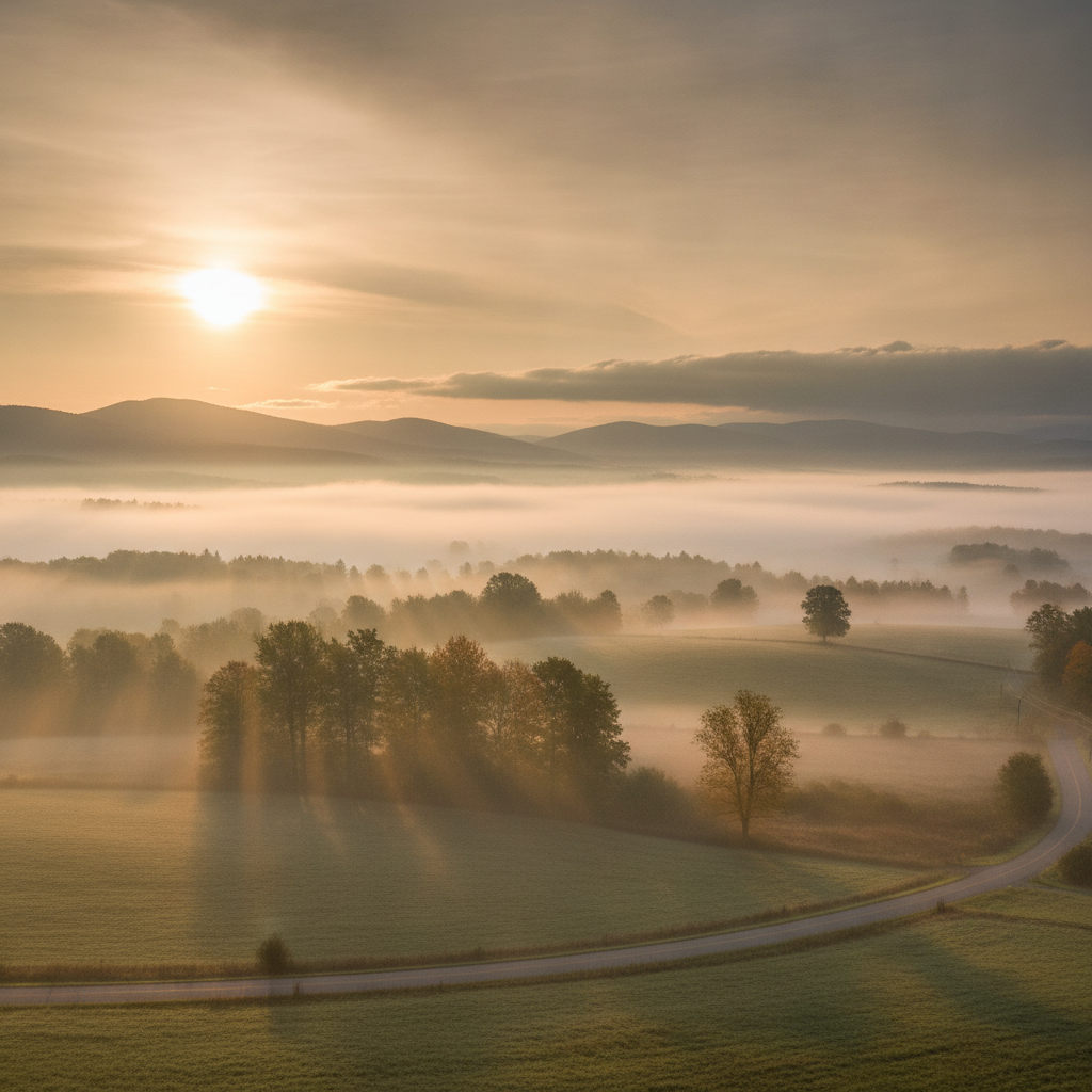
Bennington County wakes up to morning fog and comfortable warmth near 80 degrees before moisture increases later in the week. Expect light to moderate drizzle by Thursday along with cooler overnight lows across southwestern Vermont.

Last updated:
Good morning, Bennington County. We are waking up to calm, comfortable conditions across southwestern Vermont, with current temperatures sitting right at 65°F under partly cloudy skies. Winds remain very gentle out of the gate at just 3.4 mph, setting a peaceful tone across the valley floor from Pownal up through Old Bennington and North Bennington. If you are stepping out early, you will find relatively mild air in place, but changing conditions over the next few days will gradually bring higher moisture levels and cooler afternoon readings.
Bennington Weather: Morning Fog and Comfortable
Commuting Across Bennington County and the Mountain Passes
For morning drivers heading along major regional arteries—including US-7 through Shaftsbury and Arlington, the Bennington Bypass (VT-279), and VT-9 (the Molly Stark Trail) heading east toward Woodford—be mindful of patchy fog. Today’s forecast highlights fog as the primary daytime condition, which can settle densely into low-lying hollows along the Walloomsac River basin and cling to the slopes rising toward the Green Mountains.
While winds will remain light today with a maximum speed reaching only 7.4 mph, localized fog can reduce visibility suddenly. Remember to use your low beams along rural connectors and allow a bit of extra following distance when navigating the winding curves of Route 9 or ascending toward the higher terrain east of town.
Detailed Three-Day Valley and Mountain Forecast
Here is what you can expect as we move through the middle of the week across Bennington and surrounding communities:
- Tuesday, August 18: Expect foggy conditions during portions of the day, transitioning into comfortable late-summer warmth. The high will reach 79.6°F, while the overnight low settles at 64.2°F. Precipitation probability is minimal at just 7%, with 0 inches of measurable rain accumulation expected. Peak winds will stay light at around 7.4 mph.
- Wednesday, August 19: Cloud cover will increase as light drizzle moves into the region. Temperatures will remain seasonable, topping out at a high of 78.0°F after a morning low of 62.7°F. The probability of precipitation creeps up slightly to 11%, though accumulated rainfall is expected to register at 0 inches. Maximum wind speeds will reach about 8.0 mph.
- Thursday, August 20: A slightly cooler and damper day is on tap as moderate drizzle develops. The daytime high will only climb to 74.2°F before falling to a crisp overnight low of 57.8°F. Precipitation probability reaches 15%, with an expected accumulation of 0.10 inches of rain. Winds will remain modest, topping out near 6.1 mph.
Outdoor Recreation and Mountain Conditions
If your plans include an excursion to Lake Paran, an afternoon walk near the Bennington Battle Monument, or a hike up Mount Anthony or into the Green Mountain National Forest, conditions will generally remain pleasant through Wednesday despite the damp atmosphere. With maximum wind speeds staying between 6.1 mph and 8.0 mph throughout the three-day period, high-elevation gusts will not be a major concern.
However, as light drizzle on Wednesday shifts into moderate drizzle on Thursday, trail surfaces in shaded forest areas and higher elevations near Woodford can become slick. The light 0.10 inches of precipitation anticipated on Thursday will moisten leaf litter and root systems, so sturdy footwear is recommended if you are heading out on local trails.
Seasonal Notes and Community Care
Late August in southwestern Vermont often brings a subtle transition toward cooler evenings, and Thursday night’s forecasted low of 57.8°F offers a refreshing taste of that shift. With no extreme heat, severe cold, or weather alerts currently in effect across Bennington County, it is a great time to open windows to air out homes during the cooler overnight stretches.
Even in calm weather patterns, it remains good practice to keep pets comfortable when humidity rises around periods of drizzle, and to check in on elderly neighbors or those without reliable climate control if indoor humidity lingers. Ensure your vehicle’s windshield wipers and defrosters are working smoothly to manage fog and drizzle during morning and evening drives.
The Bottom Line
Expect fog and a pleasant high of 79.6°F today with light winds. Wednesday brings a high of 78.0°F with chances for light drizzle, followed by a cooler Thursday featuring moderate drizzle, a high of 74.2°F, and roughly 0.10 inches of rain before nighttime temperatures drop into the upper 50s at 57.8°F.
Weather data provided by Open-Meteo.
See a typo? Report it here.