Weather
Heavy Snow Hits Bennington: Travel Caution Advised Across Southwestern Vermont
Heavy snow is hitting Bennington County, creating dangerous, slushy driving conditions along major routes including U.S. Route 7 and Vermont Route 9. Drivers across Bennington, Shaftsbury, Pownal, and Woodford are advised to exercise caution through the weekend.

About Bennington VT snow storm

Last updated:
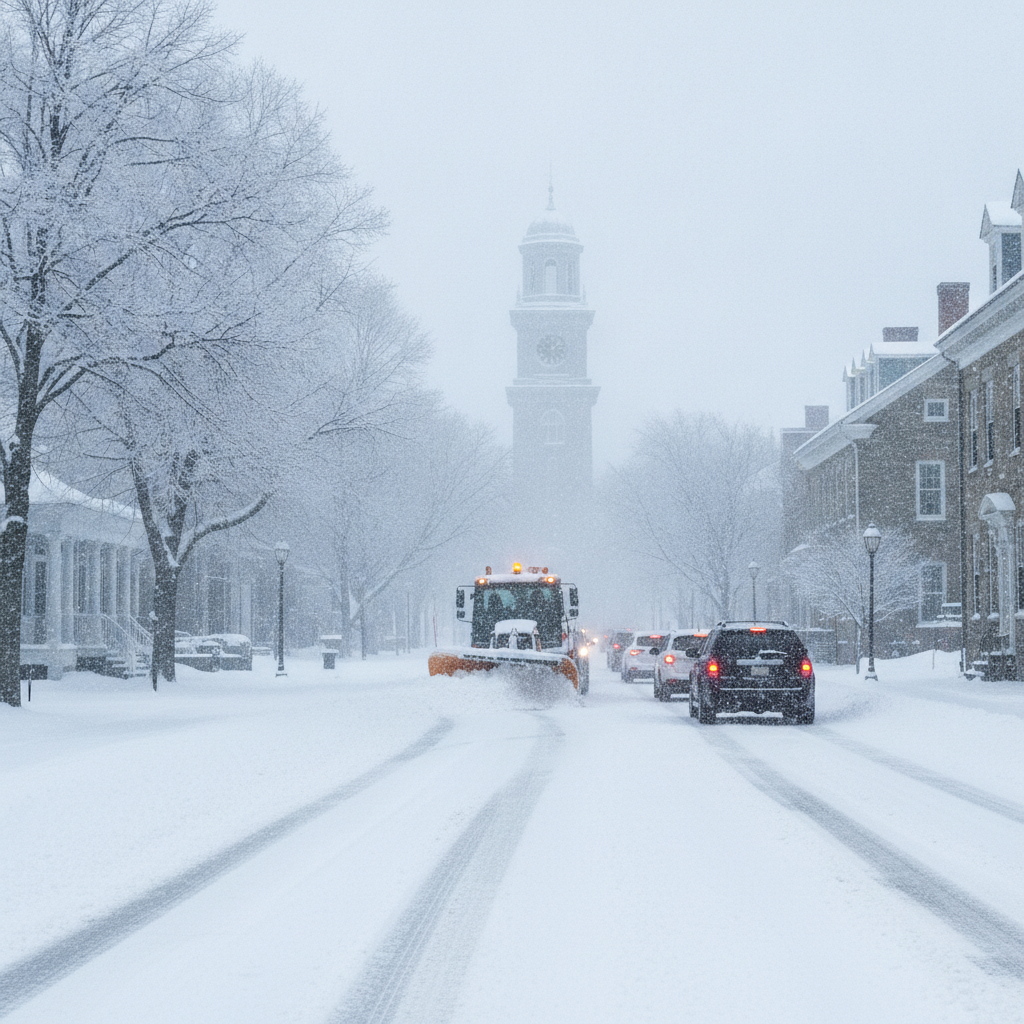
A solid taste of winter has arrived across southwestern Vermont as heavy snow blankets the Bennington Valley. Currently, temperatures in Bennington sit at 32.8°F with a light wind around 3.8 mph. Heavy snow continues to fall, creating slippery travel conditions for residents and commuters across Old Bennington, North Bennington, Shaftsbury, Pownal, Woodford, and Arlington.
Today’s Forecast: Heavy Snow and Slushy Roads (November 13, 2026)
For today, heavy snow remains the primary weather story. Temperatures will reach a daytime high of 38.4°F before dipping to an overnight low of 31.9°F. Precipitation probability stands high at 83 percent, with expected liquid equivalent precipitation reaching 0.425 inches. Wind speeds will peak at around 10.1 mph.
With daytime temperatures climbing slightly above freezing to 38.4°F, snow will feel heavy and wet. This freeze-thaw border creates slushy accumulations on valley roads, while higher terrain will see steady accumulation throughout the day.
Commute and Travel Impacts Across Bennington County
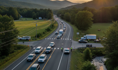
Travelers navigating regional routes should prepare for slippery roads and reduced visibility. Key transit corridors facing wet snow and slush include U.S. Route 7, Vermont Route 9 (the Molly Stark Trail), and the Vermont Route 279 bypass.
- US-7 Corridor: Commuters driving between Shaftsbury, North Bennington, and Pownal should watch for slushy lane conditions and sudden traction loss.
- VT-9 (Molly Stark Trail): Drivers climbing east toward Woodford and the Green Mountain National Forest will encounter lower temperatures and heavier snow coverage on the pavement. Take steep grades slowly.
- VT-279 Bypass: Open stretches along the bypass will experience reduced visibility during heavier bursts of snow. Drive with headlights on and maintain ample safe distance behind plow trucks.
Weekend Outlook: Light Snow and Freezing Temperatures
Wintry conditions will linger into the weekend, bringing varying snow intensity and dropping nighttime temperatures.
Friday, November 14, 2026: Slight Snow
On Friday, precipitation eases to slight snow. Daytime highs will top out near 37.9°F, with overnight lows holding steady at 31.9°F. The probability of precipitation drops to 52 percent, with light liquid precipitation totals of 0.134 inches expected. Winds will max out at 9.9 mph. Though snowfall will be lighter, damp roads will freeze as temperatures remain near the freezing point overnight.
Saturday, November 15, 2026: Moderate Snow and Colder Nights
By Saturday, moderate snow returns to the forecast. Daytime high temperatures will reach 39.6°F, but nighttime temperatures will drop significantly to a chilly low of 27.8°F. Precipitation chances fall to 24 percent, with total liquid precipitation around 0.041 inches. Wind speeds will increase slightly, peaking at 12.2 mph. The drop to 27.8°F Saturday night will bring a hard freeze, turning remaining wet slush into icy patches on untreated surfaces.
Outdoor Conditions and Community Safety
For outdoor enthusiasts visiting Mount Anthony, hiking in the Green Mountain National Forest, or walking near Lake Paran in North Bennington, exercise caution. Wet, heavy snow makes trails slick and can cause tree branches to sag. Peak winds reaching 12.2 mph will make conditions feel colder at higher elevations.
With sub-freezing temperatures expected, residents across Bennington County should take practical winter precautions:
- Neighbors: Check in on vulnerable neighbors and the elderly to ensure heating systems are running reliably.
- Pets: Bring domestic pets indoors and ensure livestock have adequate dry shelter and unfrozen water.
- Walkways: Clear heavy snow from steps and walkways early before overnight temperatures fall to 27.8°F and lock in icy conditions.
The Bottom Line
Expect heavy snow today with a high of 38.4°F and low of 31.9°F, creating slushy conditions on US-7 and VT-9. Slight snow continues Friday with a high of 37.9°F, followed by moderate snow on Saturday with a high of 39.6°F and a hard freeze overnight down to 27.8°F. Drive carefully and give yourself extra travel time.
Weather data provided by Open-Meteo.
Related: Heavy Rain and Strong Winds Hit Bennington Today Ahead of a Weekend Hard Freeze
Related: Heavy Rain and Cooler Temperatures Ahead for Bennington
Related: Dry Overcast Saturday Gives Way to Soaking Autumn Rain Across Bennington County
Related: Bennington Weather: Rain and Gusts Friday, Followed by Weekend Snow Showers and a Hard Freeze
Related: Moderate Rain Today Followed by Chilly Drizzle and Freezing Nights in Bennington County