Weather
Bennington Valley Weather: Mild Start Gives Way to Chilly, Overcast Late-October Days
Bennington County will see mild weather give way to a late-October chill this week. High temperatures reaching 62 degrees on Monday drop into the 40s and 50s through Wednesday, accompanied by dry, overcast skies and near-freezing overnight lows.

About Bennington VT weather forecast
Last updated:
Mild Start to the Week Gives Way to Chilly Late-October Overcast Skies
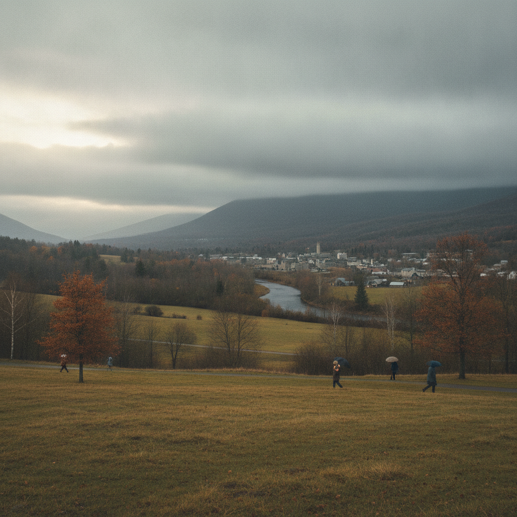
Good morning, Bennington County! As we move through late October, our local weather pattern is bringing a noticeable autumn chill alongside dry, cloud-filled skies across southwestern Vermont. Whether you are stepping out early in Old Bennington, commuting through North Bennington and Shaftsbury, or heading over the mountain pass toward Woodford, you will want to keep warm layers handy this week. While there are no weather alerts or active advisories in effect, a sharp drop in daytime temperatures accompanied by sub-freezing and near-freezing overnight lows will require a little extra planning for commuters, outdoor recreation, and household preparations.
Current Conditions Across the Bennington Valley Bennington VT weather forecast
Early today, conditions across the area are starting out with clear skies and a crisp morning temperature hovering right at 39.6°F. A gentle breeze is blowing out of the area at around 8.1 mph, adding a cool edge to the morning air. Despite the clear start to the day, overcast conditions are expected to build and dominate our skies throughout the remainder of the forecast period.
Detailed Three-Day Local Forecast
Monday, October 26: Today will be the warmest afternoon of the three-day stretch. Expect overcast skies through much of the day, but high temperatures will comfortably climb to a pleasant 62.7°F. Peak wind speeds will remain manageable, topping out at around 8.7 mph. Rain will not be a factor today, with the probability of precipitation held to just 4% and overall rainfall accumulation at 0 inches. By Monday night, overcast skies remain in place as temperatures settle down to a cool low of 34.9°F.
Tuesday, October 27: A noticeable cooling trend takes hold on Tuesday. Daytime high temperatures will top out at only 46.2°F under persistent overcast skies, making for a brisk late-autumn atmosphere across the valley. Winds will pick up slightly compared to Monday, reaching a maximum speed of 9.8 mph. Precipitation remains absent from the region with a 3% chance of rain and 0 inches expected. Tuesday night will turn significantly colder, with overnight low temperatures dropping right down to 32.1°F.
Wednesday, October 28: Midweek brings a slight daytime temperature recovery while maintaining completely dry weather. High temperatures will recover to a mild 52.5°F under continued overcast conditions. Winds will drop off to very light levels, peaking at a gentle 4.1 mph. Rain chances disappear entirely with a 0% probability and 0 inches of precipitation projected. Wednesday night will feature the coldest night of the forecast period, with temperatures dipping to a frosty low of 31.8°F.
Commute and Travel Impact
Dry weather across the board means major travel corridors—including US Route 7, the Bennington Bypass (VT-279), and Route 9 (VT-9 / Molly Stark Trail)—will remain free from rain or snow impacts. However, morning drivers setting out while valley temperatures rest near 39.6°F today or close to the freezing mark (32.1°F on Tuesday night and 31.8°F on Wednesday night) should stay mindful of chilly cabin temperatures and changing visibility under overcast skies. Elevation changes along VT-9 over Woodford Mountain will feel noticeably colder than the valley floor in Bennington, Pownal, and Arlington, so carrying a warm coat in your vehicle is recommended for commuters traveling between Bennington and Windham County.
Outdoor Recreation in the Green Mountains
If you are planning to head outdoors for a trail run up Mount Anthony, a stroll around Lake Paran, or a hike within the Green Mountain National Forest, conditions will remain calm and dry, though visually gray under overcast skies. Monday offers the most comfortable window for prolonged outdoor activity with a high of 62.7°F. As afternoon highs drop into the 40s and low 50s on Tuesday and Wednesday, wearing thermal base layers and wind-resistant outer clothing will keep you comfortable. Maximum winds between 4.1 mph and 9.8 mph mean strong gusts will not be a issue, but ridgelines will carry a consistent autumn nip.
Home Care, Pets, and Community Guidance
With overnight low temperatures falling from 34.9°F on Monday down to 32.1°F on Tuesday night and 31.8°F on Wednesday night, it is time to take standard end-of-season precautions around your home:
- Protect sensitive plants: Bring in potted outdoor plants or tender garden items before Tuesday and Wednesday nights to prevent freeze damage.
- Water lines: Disconnect and drain outdoor garden hoses from spigots before sub-freezing lows arrive.
- Pet care: Ensure outdoor pets have warm, dry, sheltered enclosures, or bring them inside during nights dipping down to 31.8°F and 32.1°F.
- Check on neighbors: Reach out to elderly community members or neighbors in older homes across Shaftsbury, Pownal, North Bennington, and Arlington to ensure heating systems are operating effectively.
The Bottom Line
We are in for three quiet, completely dry, overcast days with zero rain or snow accumulation. Take advantage of Monday’s mild high of 62.7°F before cooler air moves in on Tuesday (high of 46.2°F) and Wednesday (high of 52.5°F), accompanied by freezing overnight lows dipping to 31.8°F and 32.1°F.
Weather data provided by Open-Meteo.
Related: Damp Late-August Stretch Brings Rain, Drizzle, and Cooler Temperatures to Bennington County
Related: Warm, Cloudier Pattern Sets In for Bennington County Before Weekend Drizzle and Cooler Air
Related: Bennington County Weather: Comfortable Late-Summer Days Ahead with Rain Chances by Midweek
Related: Border County Tax Pressures Mount as New York Shifts SNAP Costs
See a typo? Report it here.