Weather
Bennington VT Weather Forecast: Mild and Dry Early Autumn Pattern Settles In Under Overcast Skies
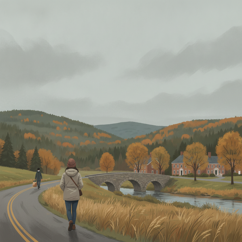
A mild and dry early autumn weather pattern settles across Bennington and surrounding southwestern Vermont communities through Tuesday. Overcast skies will dominate with comfortable daytime highs in the low 70s, cool overnights, and zero precipitation expected across the region.

Last updated:
A quiet, calm stretch of early September weather is taking hold across southwestern Vermont. Current readings in the Bennington Valley show a temperature of 56 degrees under mainly clear skies, accompanied by a gentle wind of just 3.3 mph. While the start of the day features clear intervals, a blanket of cloud cover is forecast to move in, setting up several consecutive overcast days across Bennington, Old Bennington, North Bennington, Shaftsbury, Pownal, Woodford, and Arlington. There are currently no active weather watches, warnings, or advisories in effect for the region.
Bennington VT Weather Forecast: Multi-Day Breakdown
Residents across the valley can look forward to pleasant, temperate daytime conditions and cool overnights, accompanied by dry weather throughout the forecast window:
Detailed Bennington VT Weather Forecast Through Tuesday
- Sunday, September 6, 2026: Expect overcast skies throughout the day with an afternoon high reaching 68.2 degrees. The low will hold at a mild 55.4 degrees. Winds will be manageable, peaking at a maximum speed of 10.6 mph. The probability of precipitation is minor at just 9 percent, with expected measurable precipitation remaining at exactly 0 inches.
- Monday, September 7, 2026: Overcast conditions continue into Monday, bringing the warmest high of the three-day outlook at 73.3 degrees. As night falls, temperatures will drop to a crisp 51.2 degrees. Maximum winds will top out around 11.5 mph. With a 0 percent precipitation probability and 0 inches of rainfall, conditions will remain entirely dry.
- Tuesday, September 8, 2026: The overcast pattern persists into Tuesday, with an afternoon high settling at 71.5 degrees and an overnight low of 53.8 degrees. Winds will slacken considerably, reaching a maximum speed of only 6.3 mph. Rain chances remain virtually nonexistent with a 1 percent precipitation probability and 0 inches of expected accumulation.
Travel and Commuting Impacts Across the Valley
For drivers taking to regional roads, travel conditions will be smooth and unobstructed by adverse weather. Commuters heading along the US-7 corridor between Pownal, Bennington, Shaftsbury, and Arlington can anticipate dry pavement for both the morning and evening drives. The same holds true along the Bennington Bypass on VT-279, where light winds and zero inches of precipitation will make for easy driving.
For those climbing east out of the valley along VT-9, known locally as the Molly Stark Trail toward Woodford and the higher Green Mountain plateaus, the persistent overcast ceiling will be the primary feature. However, peak winds will stay well below disruptive levels, topping out at 10.6 mph on Sunday and 11.5 mph on Monday before tapering to 6.3 mph on Tuesday. With precipitation measured at 0 inches across the period, road conditions will stay dry and reliable.
Recreation and Outdoor Mountain Planning
With daytime temperatures climbing from 68.2 degrees on Sunday to 73.3 degrees on Monday and 71.5 degrees on Tuesday, outdoor enthusiasts have ideal conditions for hiking and walking. The overcast skies will offer natural shade without the threat of rain showers, as precipitation chances do not exceed 9 percent on Sunday, drop to 0 percent on Monday, and register at just 1 percent on Tuesday.
Hikers venturing up Mount Anthony or exploring trailheads in the surrounding Green Mountain National Forest can expect comfortable, mild trekking conditions. While mountain ridgelines can occasionally be breezier than the valley floor, the forecasted peak winds of 6.3 to 11.5 mph mean high-elevation winds will remain modest. Around North Bennington, shoreline walks and flat-water paddling at Lake Paran will benefit from the very light breeze, particularly by Tuesday when winds peak at just 6.3 mph.
Seasonal Context and Community Wellness
As southwestern Vermont steps further into September, early signs of seasonal transition begin to show across the landscape. The combination of daytime highs in the low 70s and overnight lows descending into the lower 50s—specifically dipping down to 51.2 degrees on Monday night—brings classic early autumn air. These cool nights provide refreshing sleeping weather without bringing any freezing conditions or frost concerns for valley gardens and late-season crops.
With no extreme heat, heavy precipitation, or bitter cold in the forecast, conditions are gentle on vulnerable neighbors, older adults, and pets. Even so, the drop to 51.2 degrees on Monday night might feel brisk to those sensitive to cooler temperatures, making a light jacket a sensible choice for evening walks or outdoor gatherings after sundown.
The Bottom Line
Expect a dry, tranquil stretch across Bennington County through Tuesday. Skies will stay overcast, but rainfall will remain at 0 inches, winds will remain light, and daily highs will stay comfortably in the upper 60s to low 70s.
Weather data provided by Open-Meteo.
Related: Damp Late-August Stretch Brings Rain, Drizzle, and Cooler Temperatures to Bennington County
Related: Warm, Cloudier Pattern Sets In for Bennington County Before Weekend Drizzle and Cooler Air
Related: Border County Tax Pressures Mount as New York Shifts SNAP Costs
Related: Bennington County Weather: Comfortable Late-Summer Days Ahead with Rain Chances by Midweek
Related: Bennington 250 Announces ‘250 for 250’ Year-End Gala to Support Anniversary Celebrations
See a typo? Report it here.