Weather
Humid Stretch with Moderate Rain and Monday Thunderstorms Across Bennington County
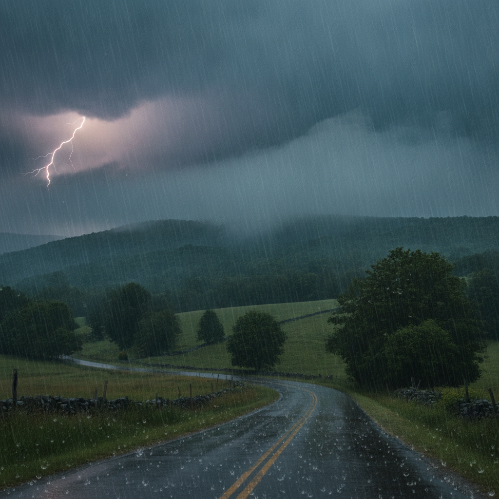
Bennington County faces a humid stretch with moderate rain on Saturday, heavy cloud cover on Sunday, and potential Monday thunderstorms. Highs will reach the low 80s before a cool-down brings overnight temperatures down to 59 degrees early next week.

Last updated:
Good day to everyone across the Bennington Valley and surrounding southwestern Vermont communities! Weather conditions currently stand at a comfortable 72.6°F under partly cloudy skies, accompanied by a very light breeze around 1.5 mph. While conditions are calm right now, our weather pattern over the next three days will bring a mix of moderate rain, heavy overcast clouds, and summer thunderstorms, along with sustained humidity before cooler nighttime air arrives early next week.
Humid Stretch with Moderate Rain and Monday
There are currently no official weather watches or warnings issued for Bennington County, but residents, commuters, and weekend outdoor enthusiasts should remain mindful of changing daily conditions, slick road surfaces, and sudden lighting risks as rainfall enters the picture.
Weekend Weather Breakdown: Saturday Rain and Sunday Cloud Cover
For Saturday, August 8, expect warm temperatures topping out at a high of 82.3°F. Moderate rain is on tap for the area, with a 50% probability of precipitation and localized rain totals anticipated around 0.13 inches. Winds will remain fairly light, reaching a maximum speed near 7.7 mph. As rain falls through the region, morning and afternoon travel along US-7, the VT-279 bypass, and VT-9 (the Molly Stark Trail) up toward Woodford may experience wet pavement and reduced visibility. If you are heading out for outdoor recreation—whether hiking near Mount Anthony, exploring trails in the Green Mountain National Forest, or visiting Lake Paran in North Bennington—keep waterproof gear handy for moderate rain showers. Overnight, conditions remain warm and muggy with a low temperature of 69.2°F.
On Sunday, August 9, skies turn overcast across Old Bennington, Shaftsbury, Pownal, and Arlington. While cloud cover will be dense, rain chances drop significantly down to 6%, with no measurable precipitation (0 inches) expected throughout the day. High temperatures will reach 79.8°F, offering a slightly milder afternoon than Saturday, though air moisture will stay noticeable. Winds will pick up slightly compared to Saturday, peaking around 11.5 mph. Sunday night stays unusually warm once again, dipping to a low of 69.0°F.
Monday Outlook: Thunderstorms and a Cool Nighttime Shift
As the workweek begins on Monday, August 10, warm air continues with a daily high hitting 81.4°F. However, atmosphere dynamics will foster thunderstorm development across southwestern Vermont. Precipitation probability sits at 36%, with rainfall accumulation forecast around 0.169 inches. Maximum wind speeds are expected near 9.3 mph.
Drivers during the Monday evening commute along US-7 and VT-9 should watch out for localized downpours and water pooling on roadways. Anyone planning outdoor work or mountain recreation in higher elevations around Woodford should keep a close ear to the sky; if thunder rumbles, seek safe indoor shelter immediately. Following the passage of Monday’s storms, a notable airmass transition brings a welcome cool-down overnight, with temperatures dropping to a crisp low of 59.1°F.
Community Care and Practical Local Impacts
With daytime highs ranging from 79.8°F to 82.3°F and warm weekend nighttime lows near 69°F, humidity levels will feel sticky across the valley. Summer heat and moisture can be challenging for vulnerable community members, elderly neighbors, and pets. Ensure outdoor pets have access to fresh water and shaded relief during afternoon peaks. Furthermore, check in on neighbors in Old Bennington, Pownal, and Shaftsbury who may lack air conditioning during these muggy nights before cooler air moves in late Monday.
The Bottom Line for Bennington County
- Saturday, August 8: High of 82.3°F, low of 69.2°F. Moderate rain likely (50% chance, 0.13 inches rainfall). Max wind 7.7 mph. Watch for wet roads on US-7 and VT-9.
- Sunday, August 9: High of 79.8°F, low of 69.0°F. Overcast and dry (6% chance of rain, 0 inches). Max wind 11.5 mph. Warm and humid throughout the day and night.
- Monday, August 10: High of 81.4°F, overnight low dropping to a cooler 59.1°F. Thunderstorm potential (36% chance, 0.169 inches rainfall). Max wind 9.3 mph. Be aware of thunder risks during afternoon travel or hikes.
Weather data provided by Open-Meteo.
See a typo? Report it here.